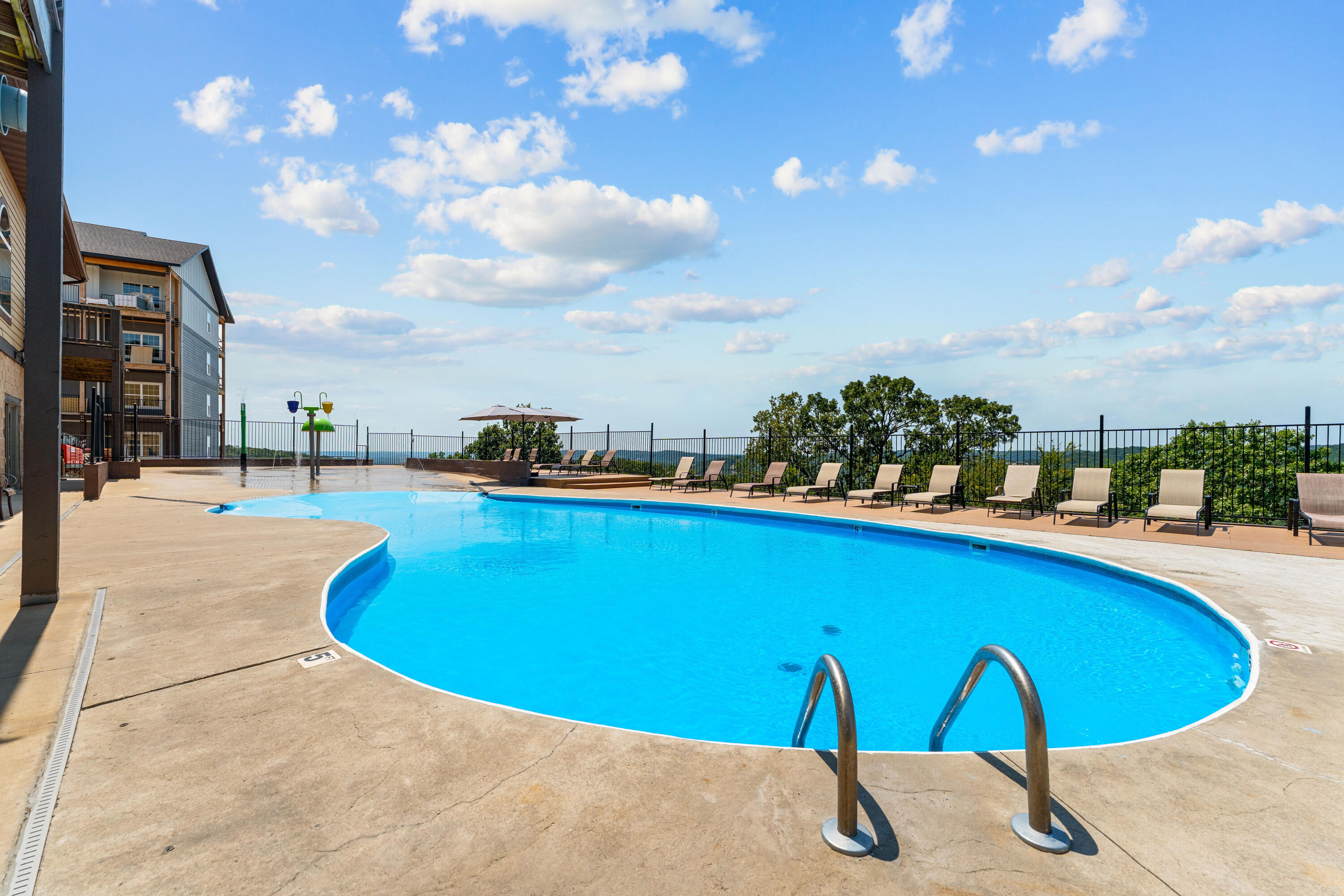
Outdoor pool with lounge seating along the hillside, part of the resort-style amenity package serving this Indian Point commercial development near Table Rock Lake.
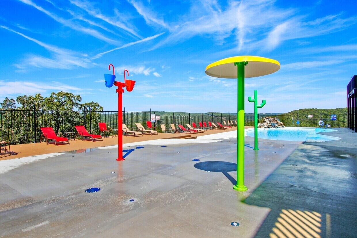
Outdoor splash pad feature with nearby seating, an amenity within the clubhouse complex of this Branson-area commercial and development acreage.
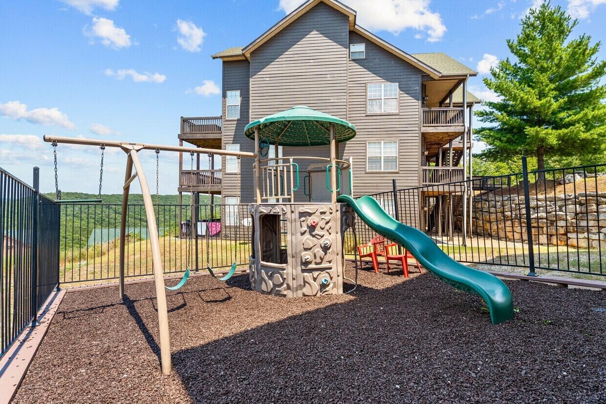
Fenced outdoor play area with swing set and slide near the clubhouse, an amenity available within this Indian Point mixed-use development.
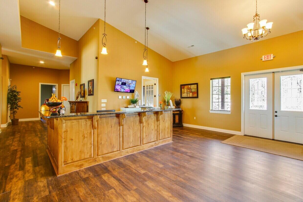
Interior view of the community clubhouse lobby and check-in area, an on-site amenity supporting this Indian Point commercial development near Table Rock Lake.
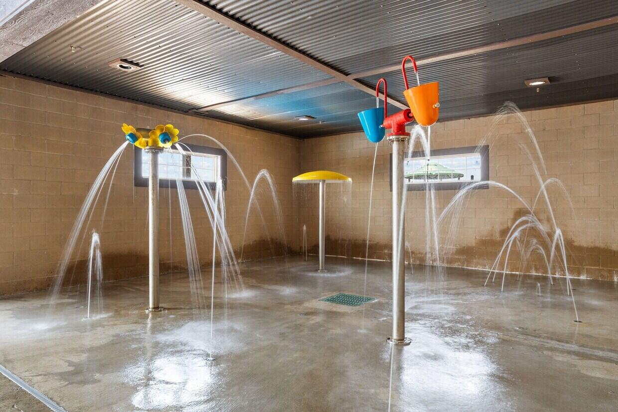
Indoor splash pad feature within the clubhouse, part of the amenity infrastructure already in place on this zoned commercial and development acreage.
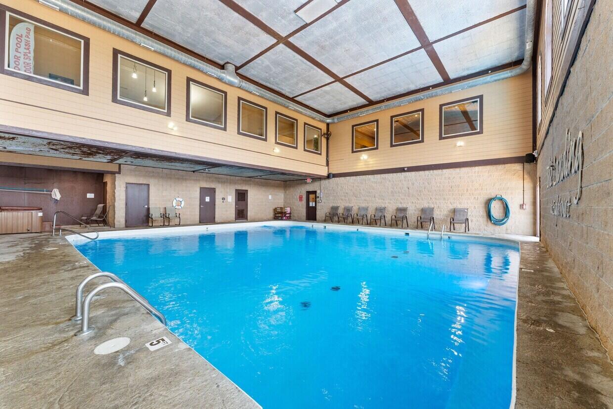
Indoor pool inside the community clubhouse, one of the shared amenities built out on this Indian Point commercial development site near Silver Dollar City.
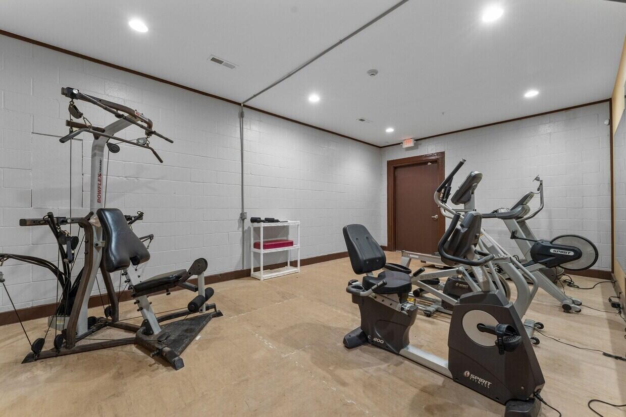
Fitness room equipped with cardio and strength machines inside the community clubhouse serving this Table Rock Lake area commercial acreage.
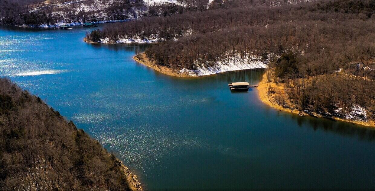
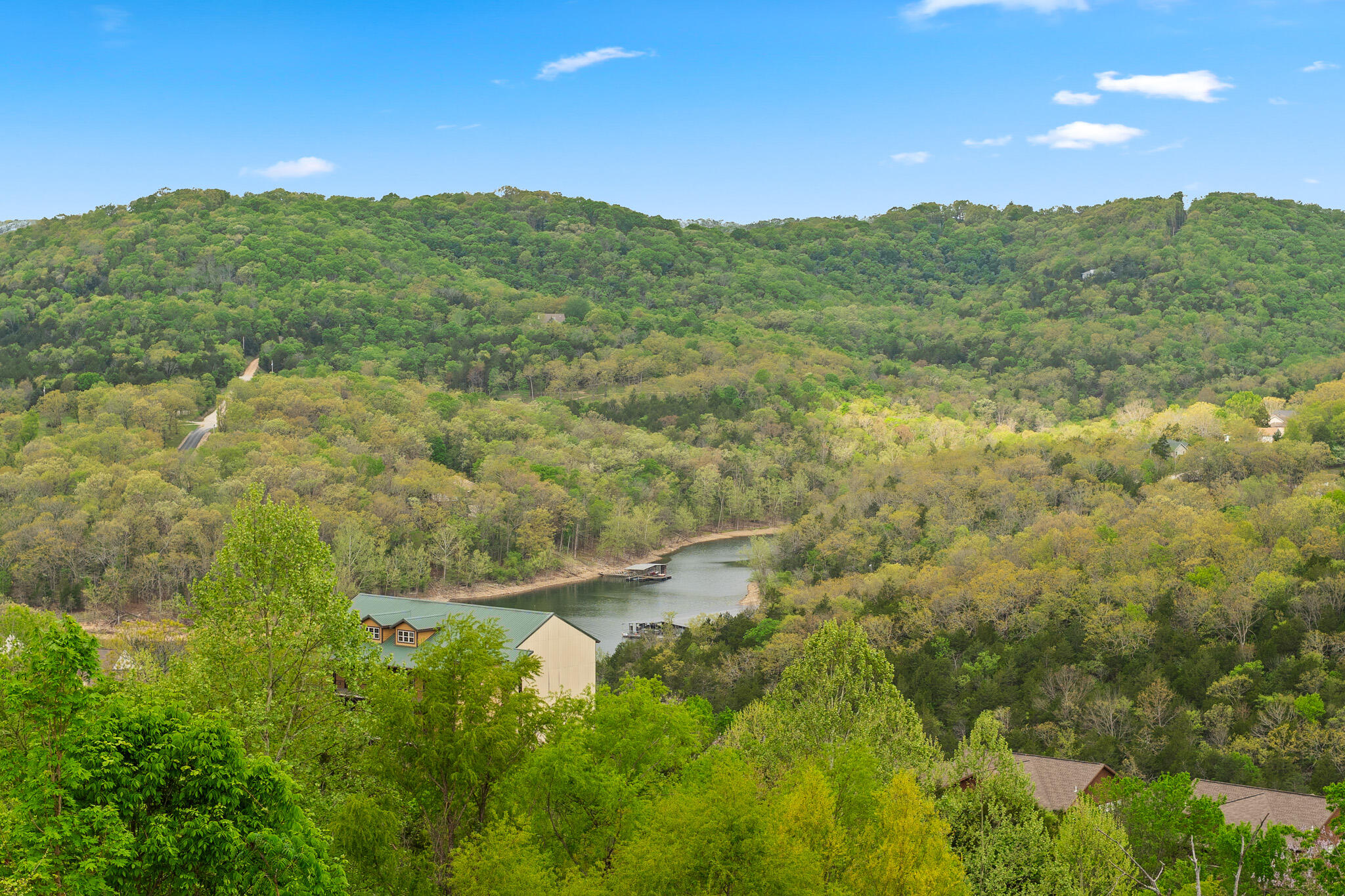
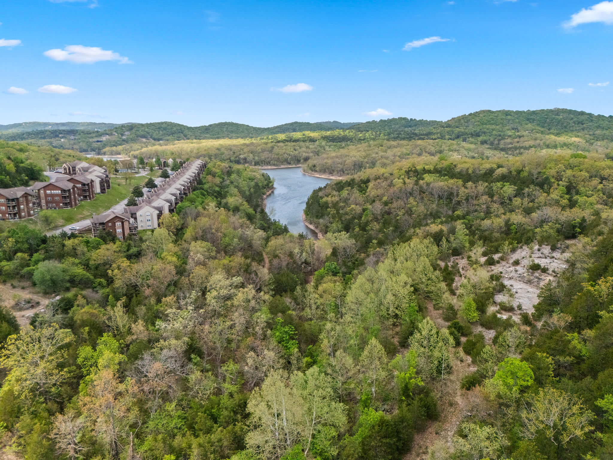
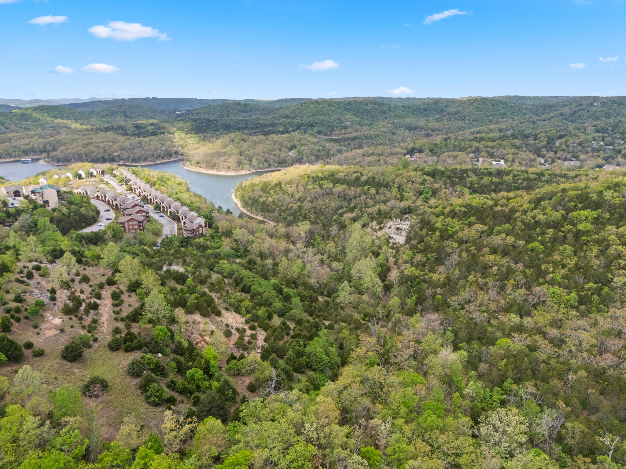
Aerial view of a quiet Table Rock Lake cove bordered by forested bluffs, part of the scenic setting for this zoned commercial and development land near Indian Point.
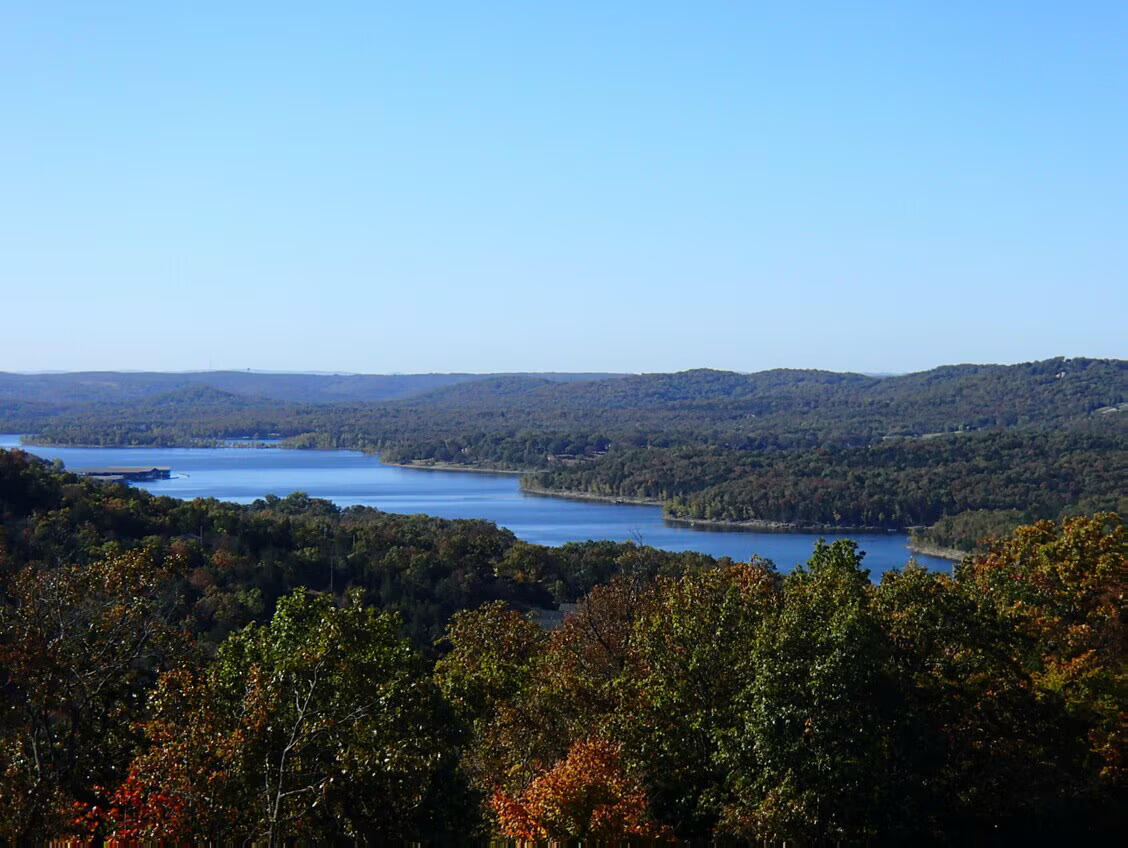
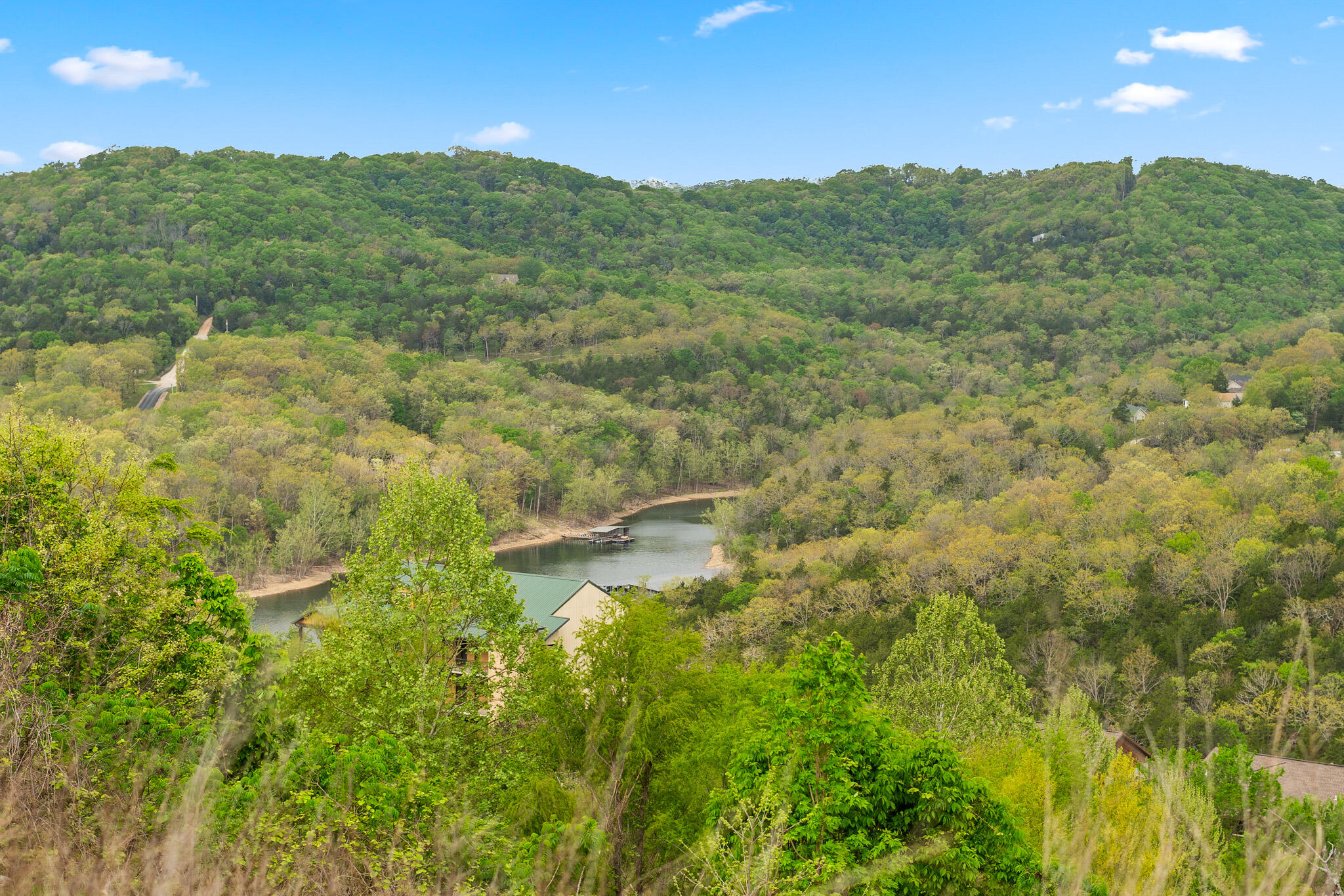
Panoramic overlook of Table Rock Lake winding through the wooded Ozark hills, showcasing the Indian Point location of this PPD/C2 zoned acreage near Silver Dollar City.
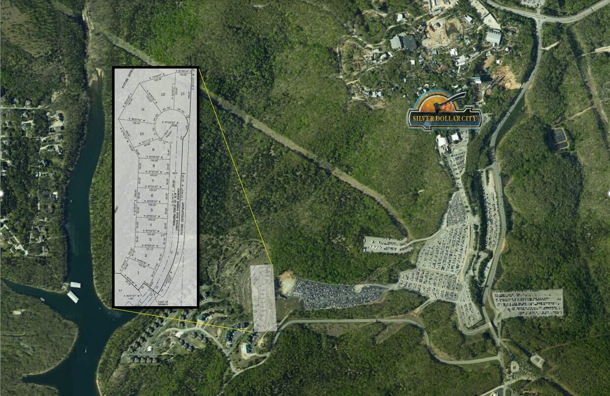
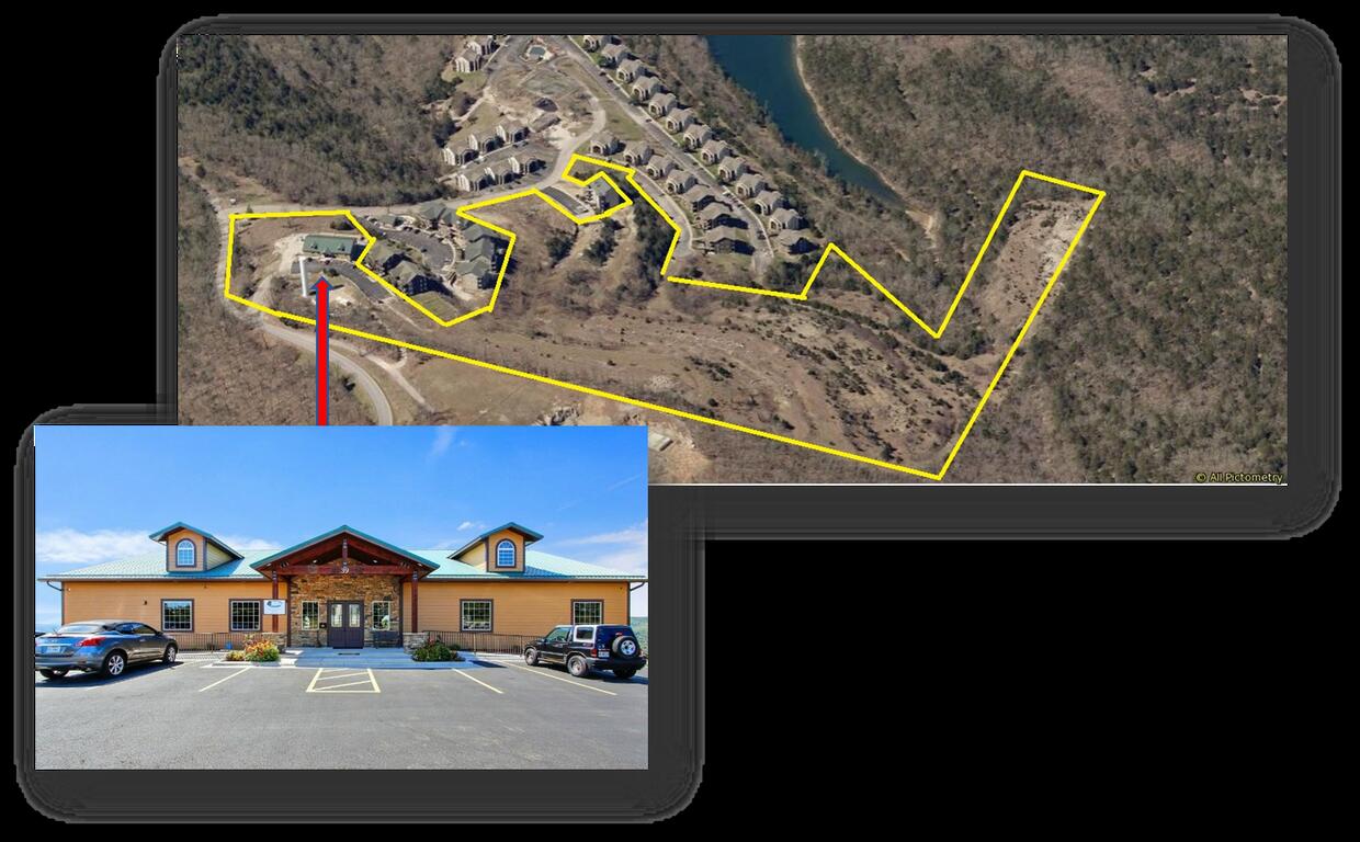
Satellite overview of the parcel boundary along Table Rock Lake in Indian Point, outlining this zoned commercial and development site near 39 Songbird Cir.
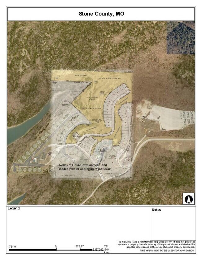
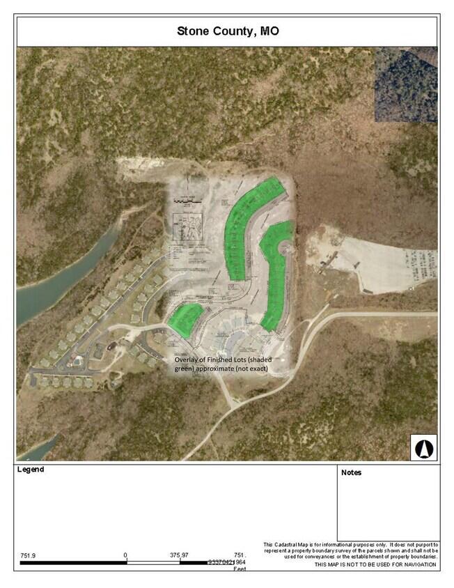
Aerial map graphic outlining the acreage boundary near Table Rock Lake, part of the site documentation for this Indian Point commercial development land.
Aerial overview highlighting the roughly 22 acres of zoned PPD/C2 land included in this Indian Point commercial development near Table Rock Lake.
Aerial view with the community clubhouse location outlined, situated within the zoned acreage near Table Rock Lake and Indian Point in the Branson area.
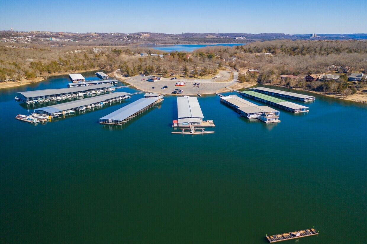
Aerial view of the Indian Point Marina boat slips on Table Rock Lake, illustrating the lake access near this Branson-area commercial development site.
Aerial view of open acreage adjoining existing condominium buildings, showing room for continued development within this Indian Point commercial land.
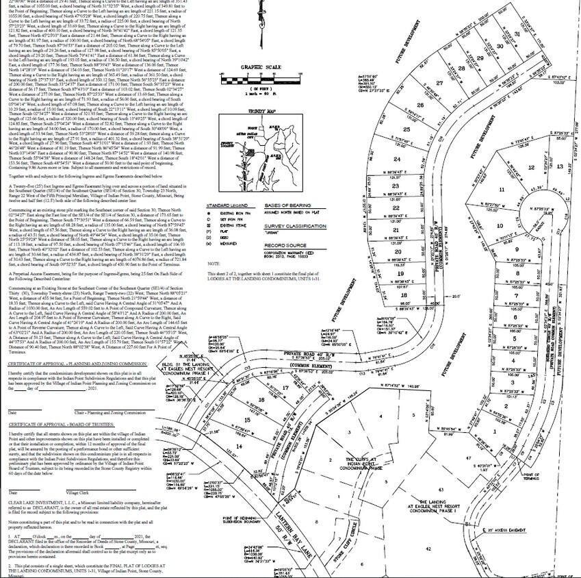
Recorded plat map detailing the platted lot lines and roadways for a phase of this Branson-area commercial and development acreage, per county records.
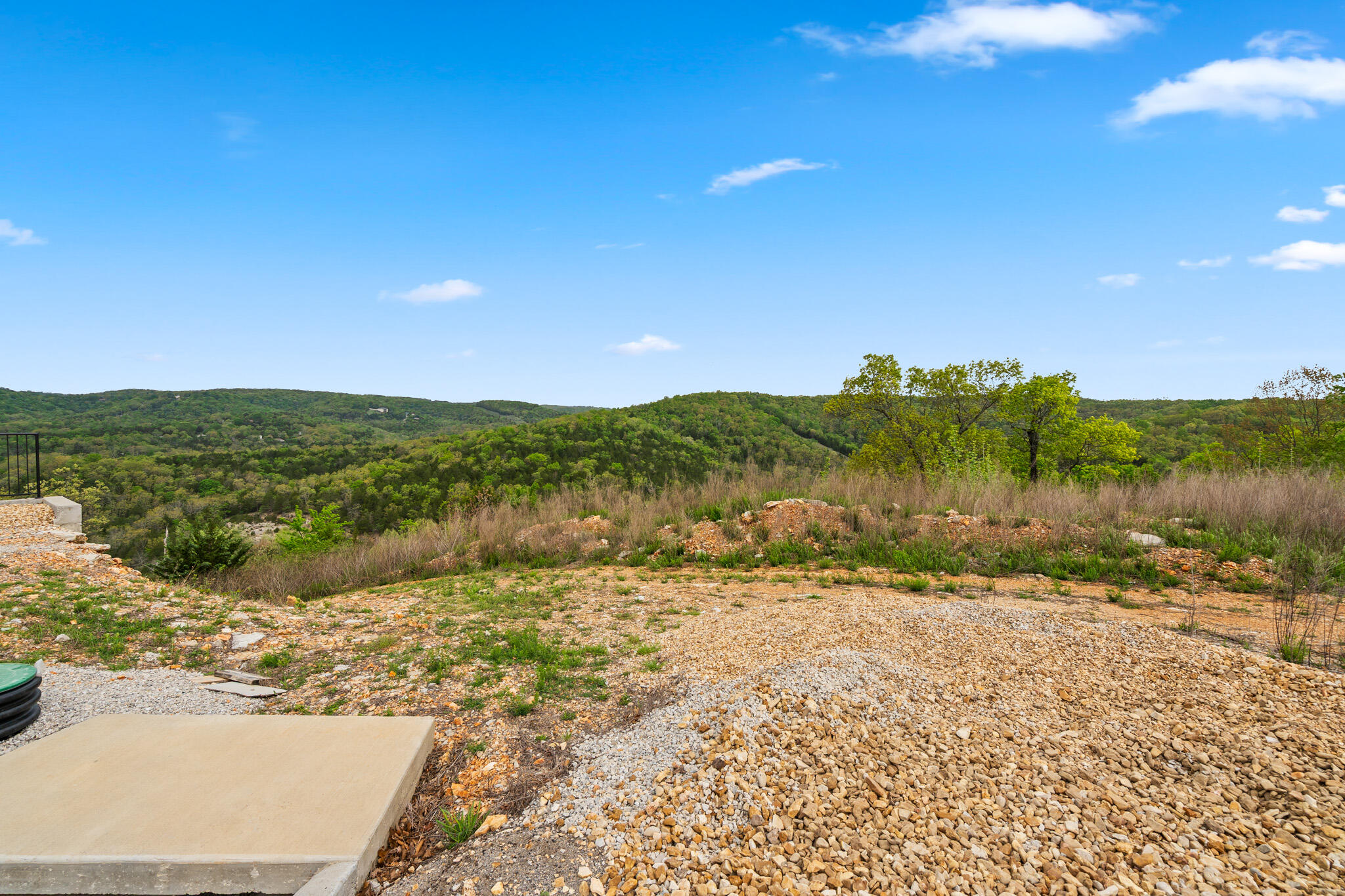
Cleared, build-ready homesite with graded ground and open sky, one of the platted lots available within this Indian Point development land near Table Rock Lake.
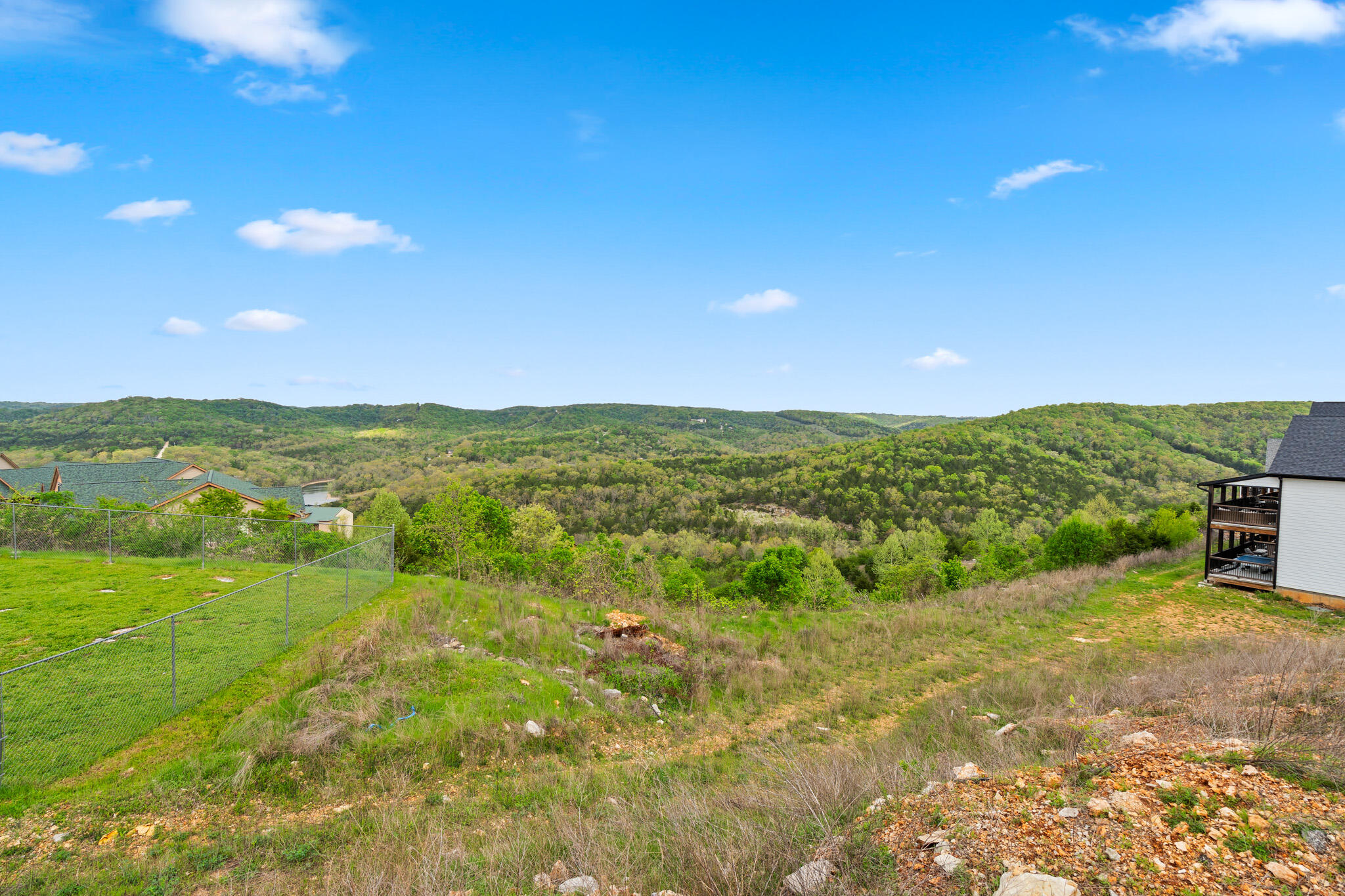
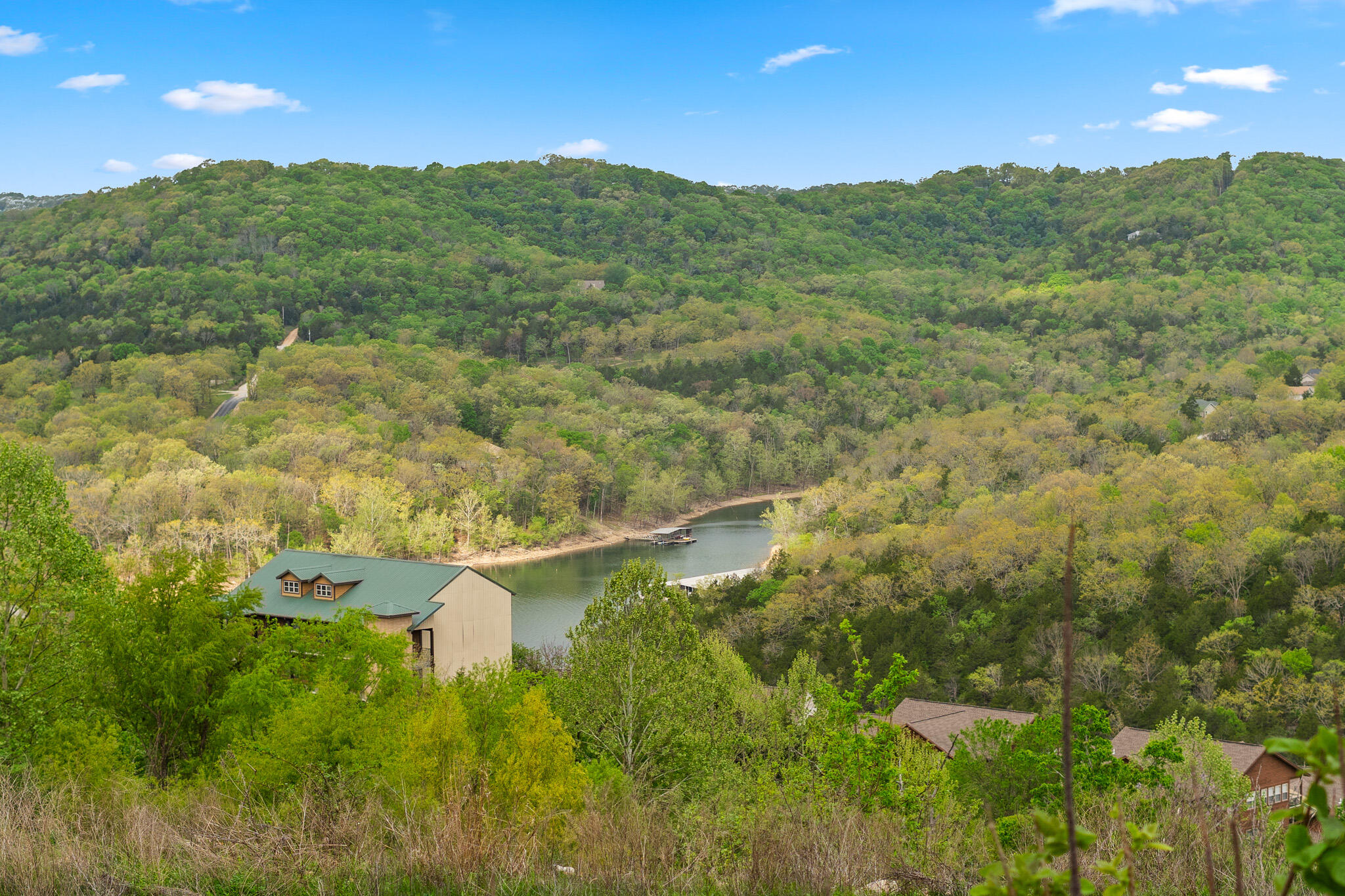
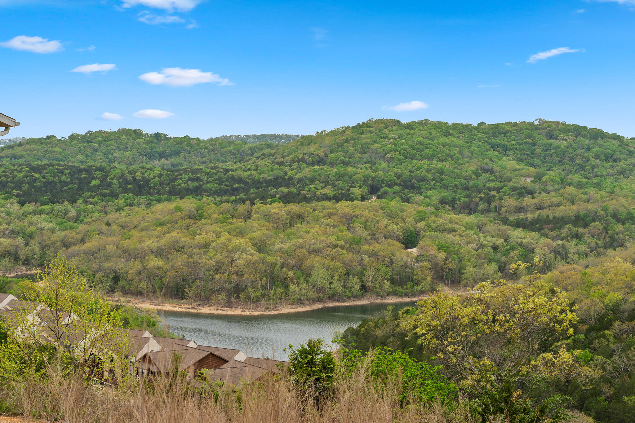
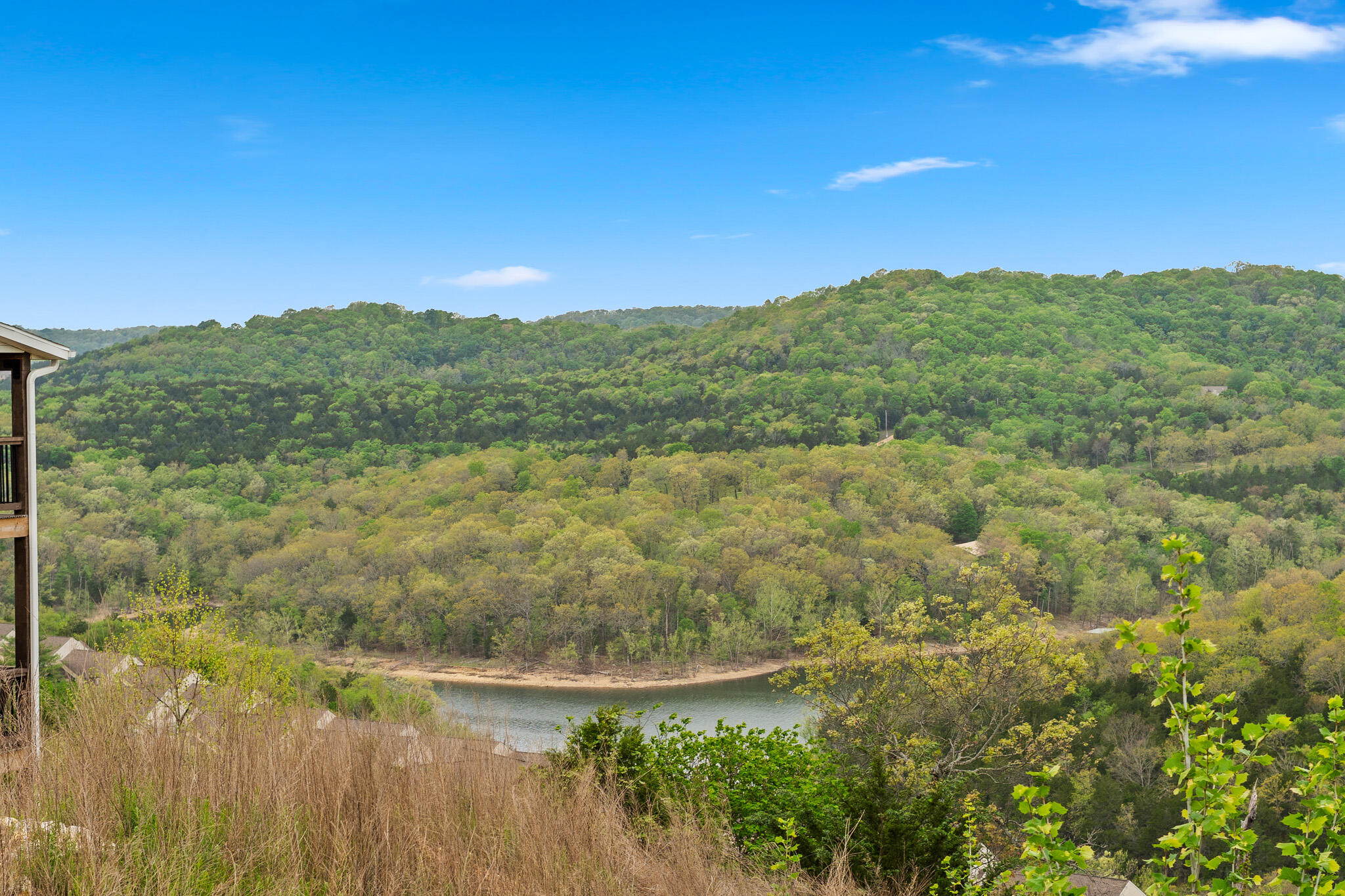
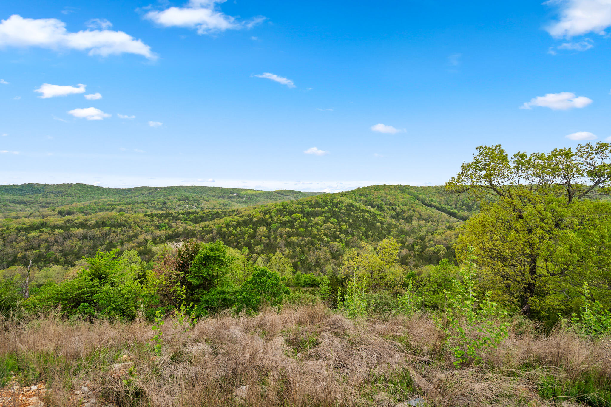
Wooded hillside overlooking a bend in Table Rock Lake, illustrating the natural lake-view terrain found across this Branson-area development land.
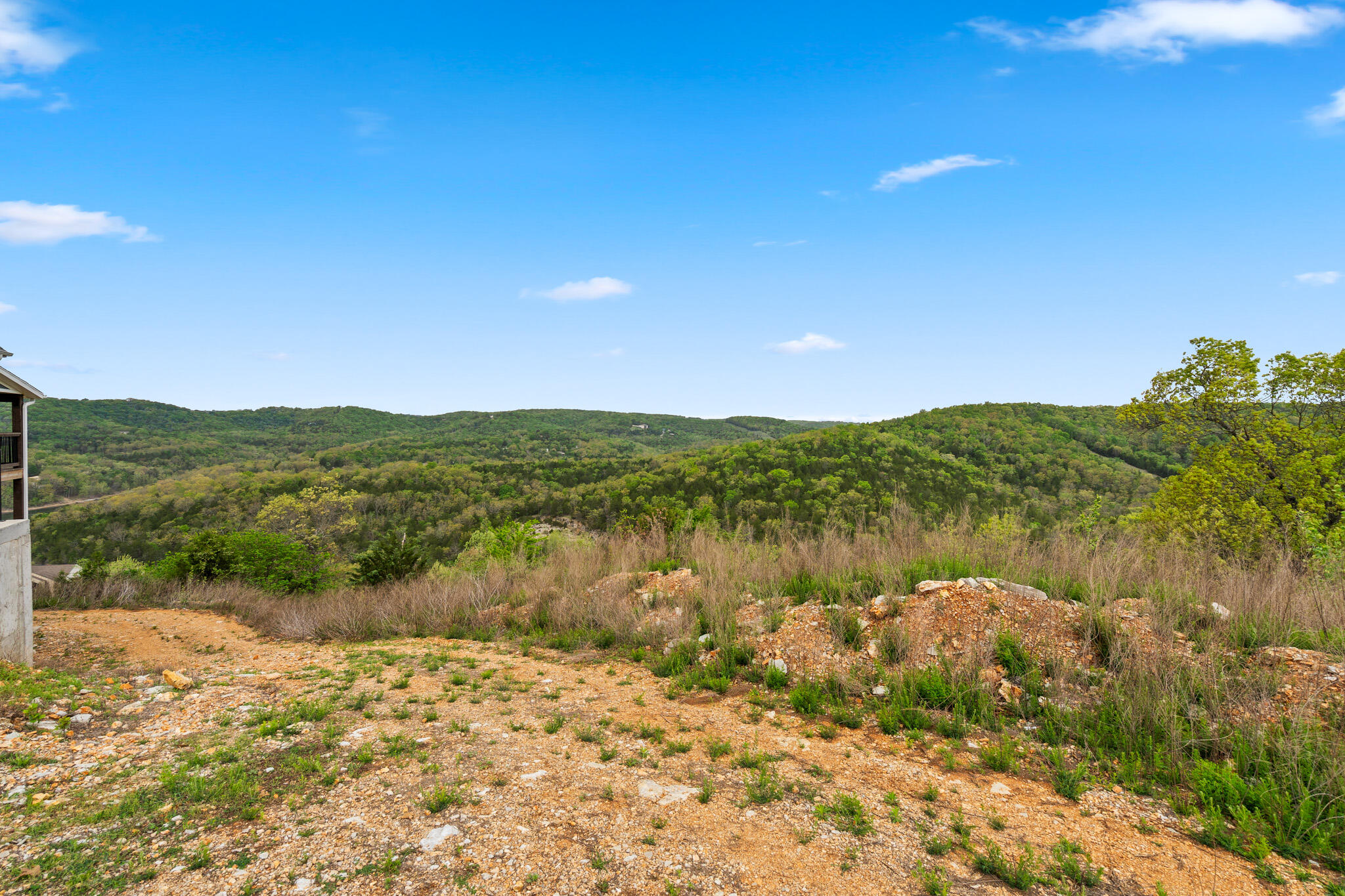
Open building lot with a partially graded pad, situated within the platted section of this Indian Point development near Table Rock Lake.
Lake-view homesite framed by rooftops and tree canopy, part of the platted acreage overlooking Table Rock Lake near Indian Point.
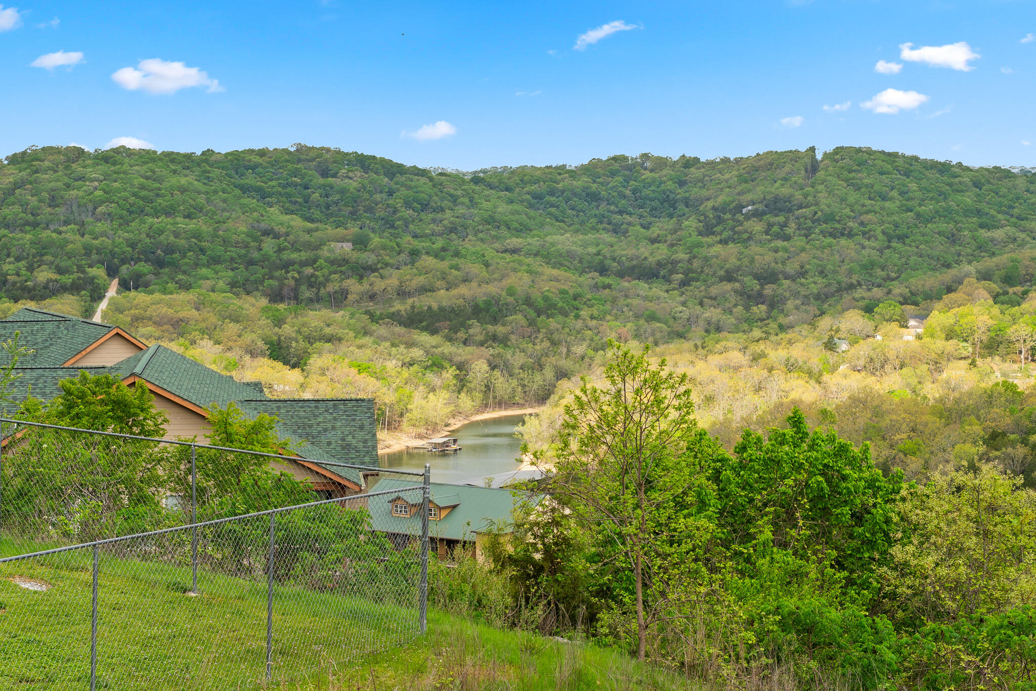
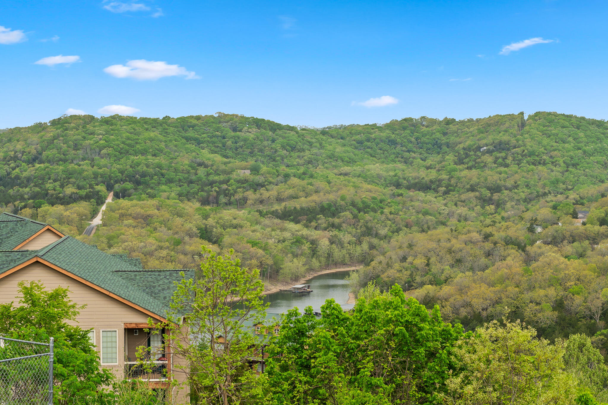
Wooded view toward a bend in Table Rock Lake, seen from one of the platted homesites within this Branson-area development land.
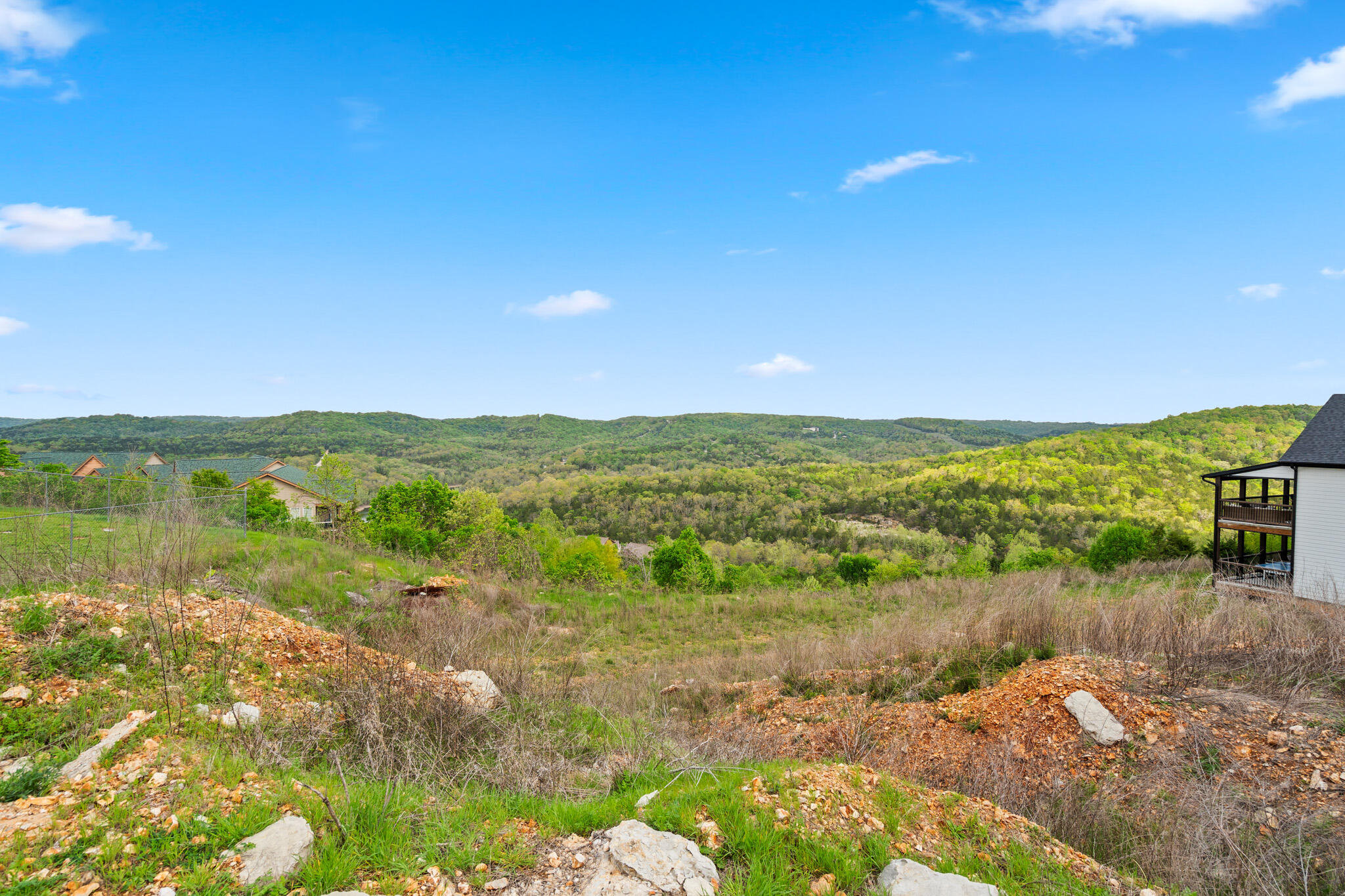
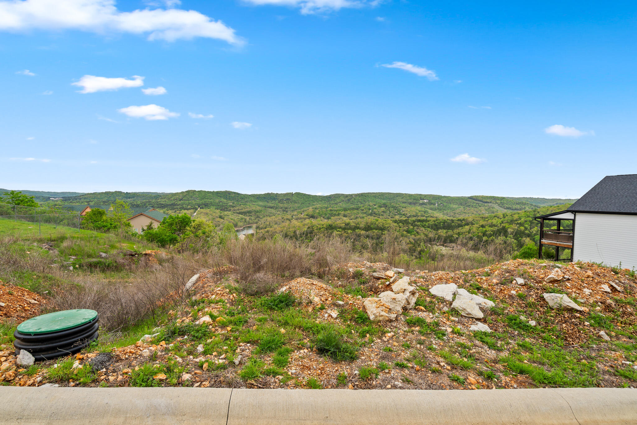
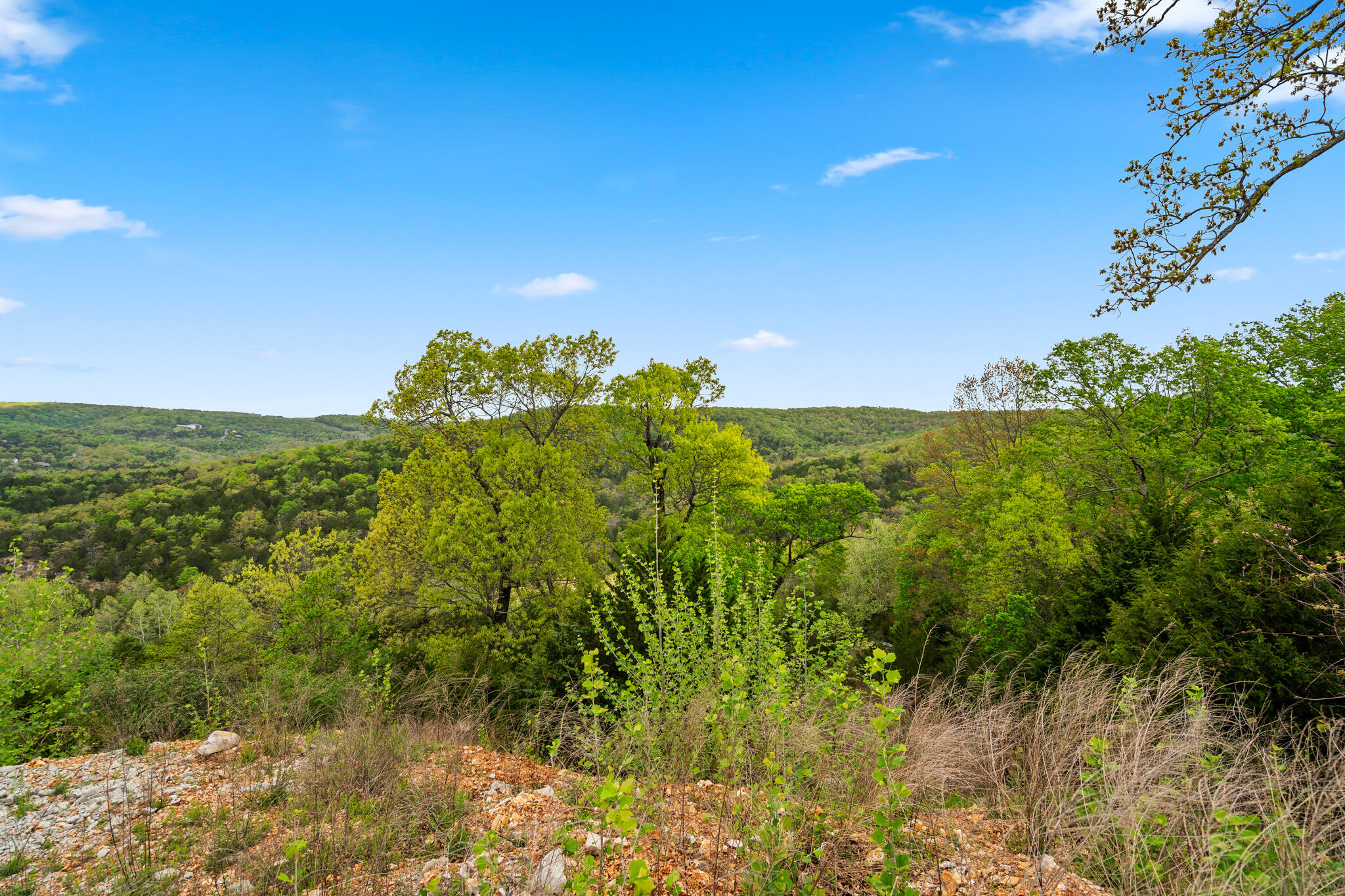
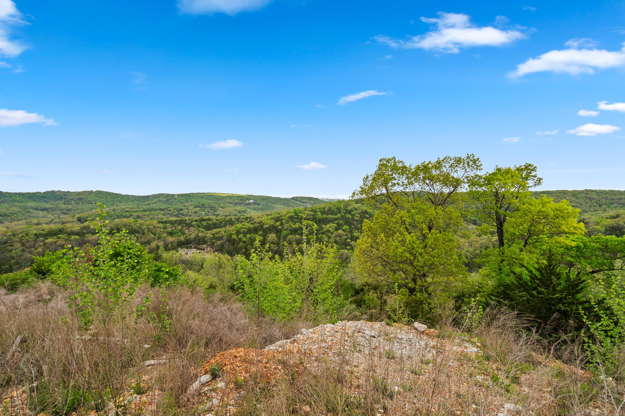
Elevated lake view across the wooded hillside, taken from one of the build-ready lots in this Indian Point development near Table Rock Lake.
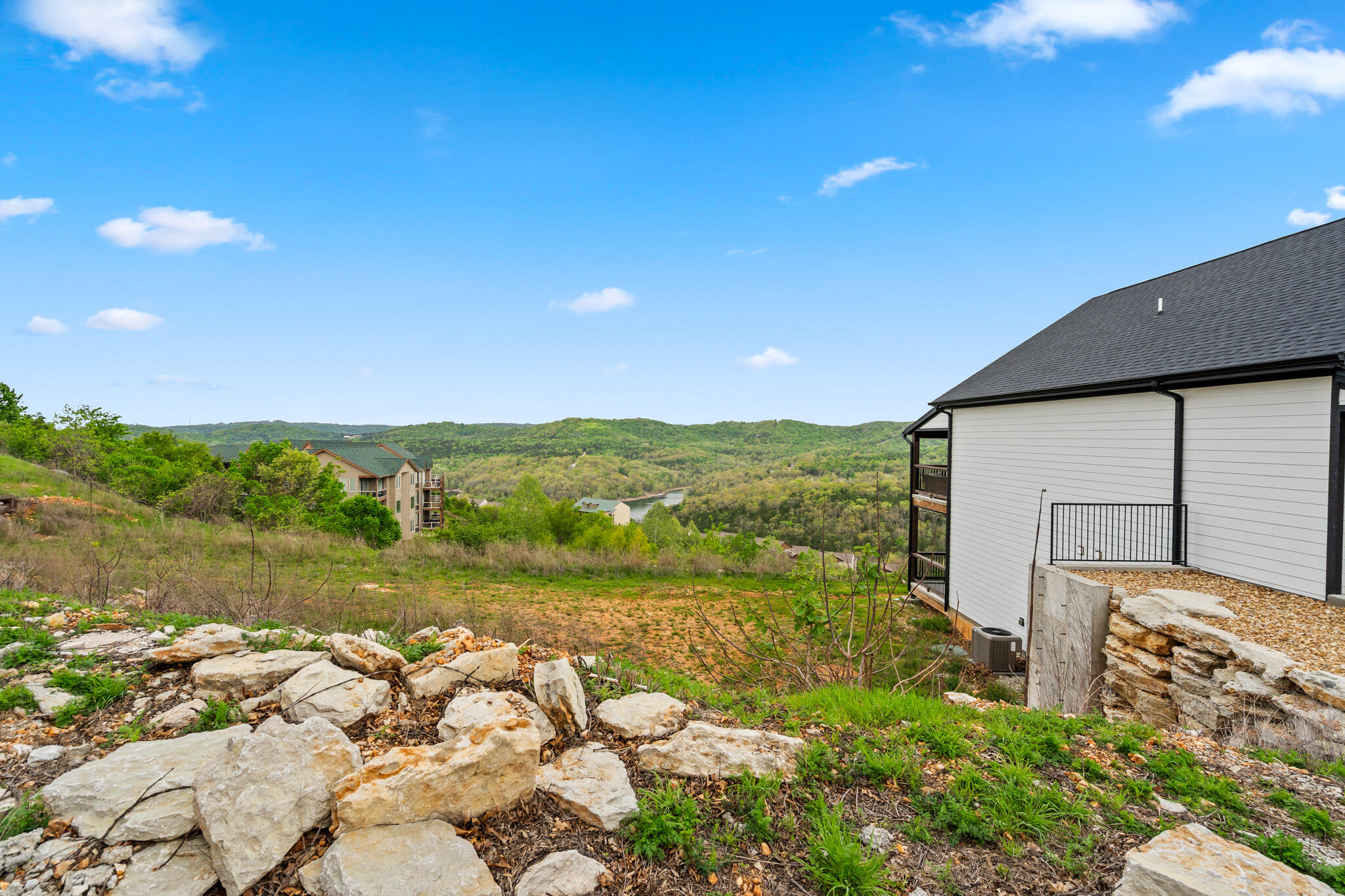
Graded, rock-cleared building lot beside an existing structure, part of the platted phase of this Indian Point development land.
Cleared and graded homesite ready for construction, one of the platted lots within this Table Rock Lake area development near Branson.
Graded building lot with stacked stone accents next to a home under construction, within the platted phase of this Indian Point development.
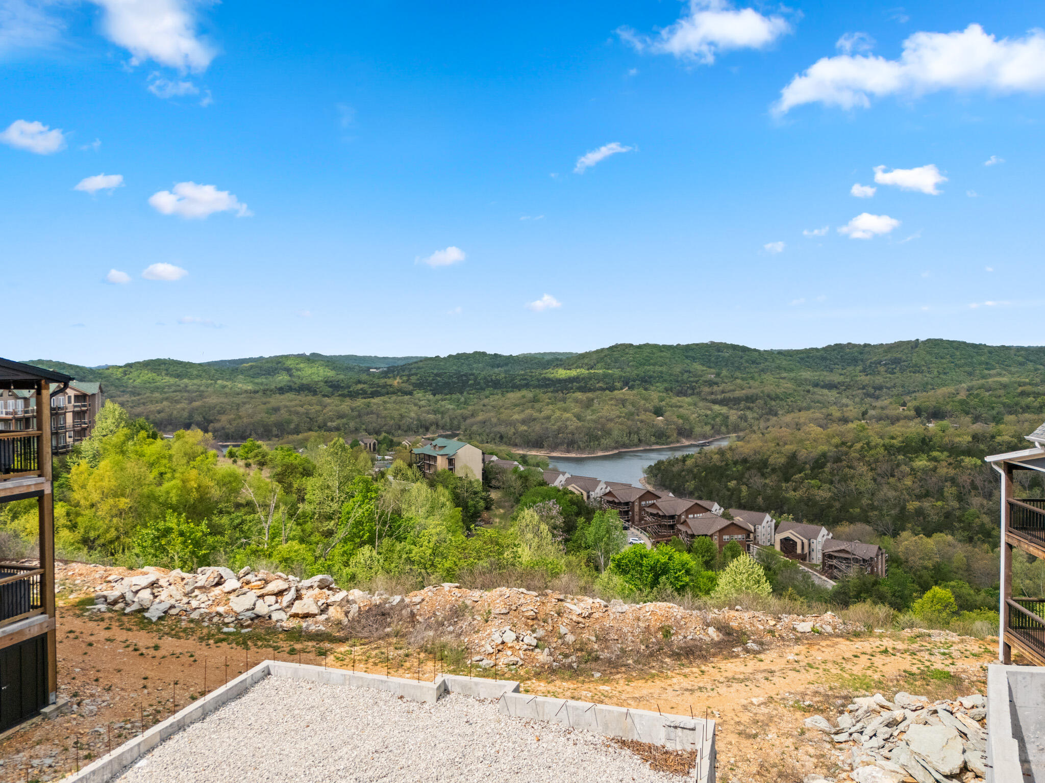
Wooded overlook of Table Rock Lake curving through the hills, viewed from a homesite in this Branson-area development land near Silver Dollar City.
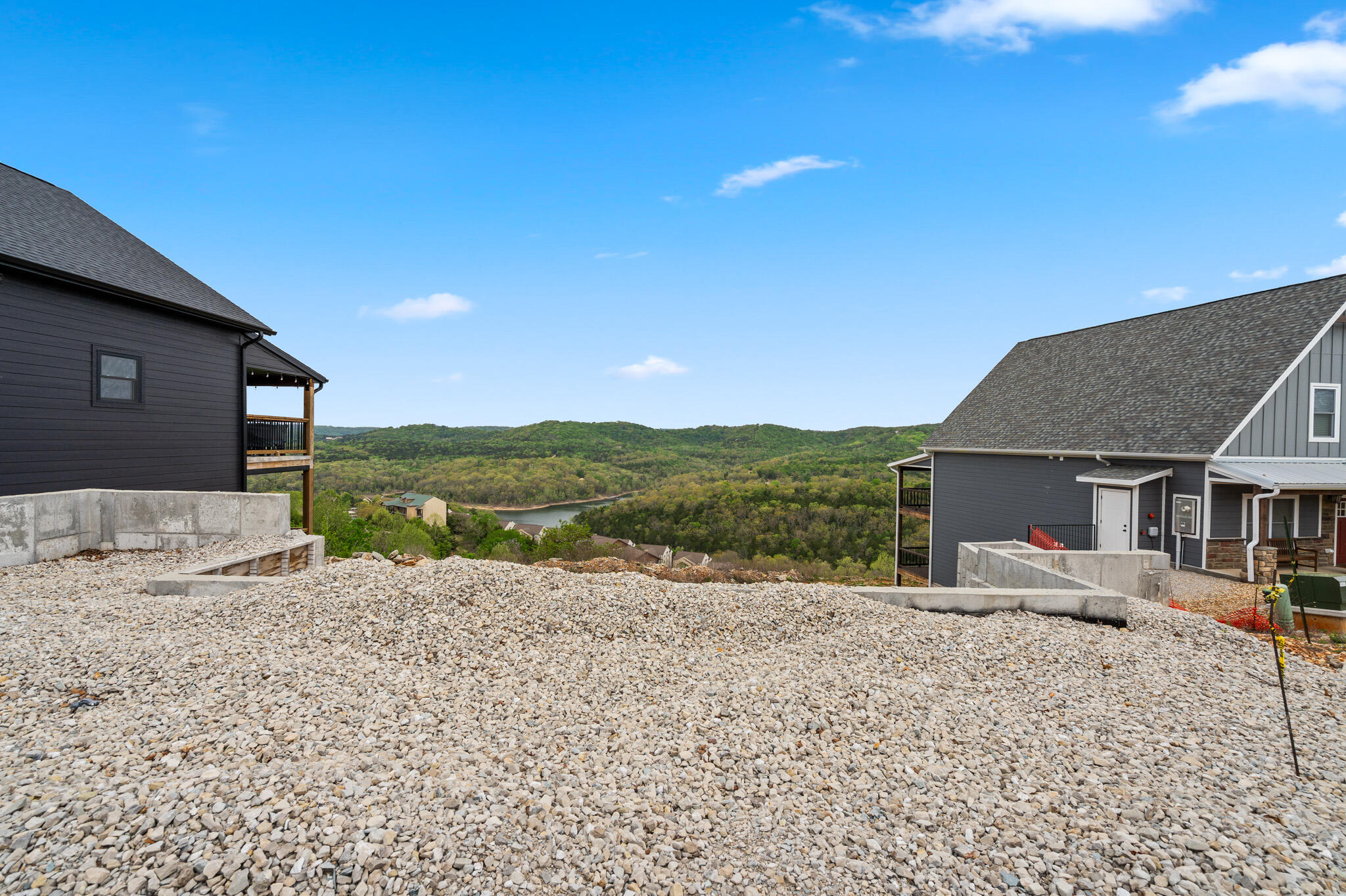
Gravel-graded building pad set between two homes under construction, part of the active build-out within this Indian Point development land.
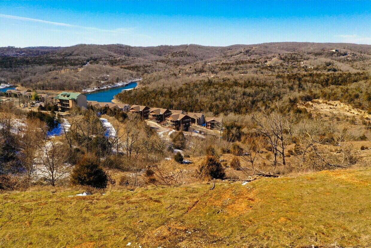
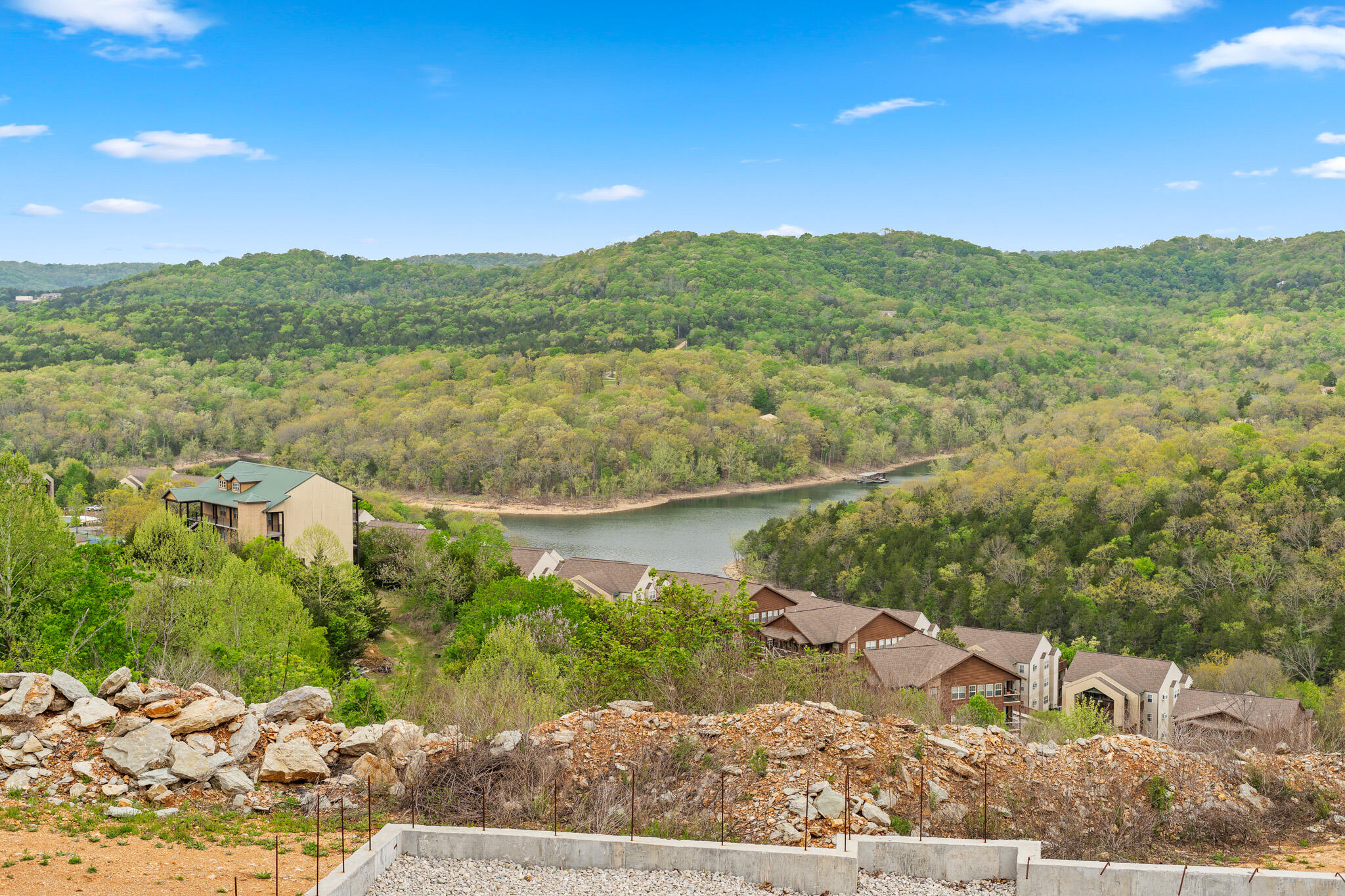
Elevated view of the platted community along Table Rock Lake, showing existing homes and open lots ready for continued development.
Building lot with a poured concrete pad on gravel base, prepared for vertical construction within this Indian Point development land.
Graded, rock-covered homesite awaiting construction, one of the build-ready lots within this Table Rock Lake area development near Branson.
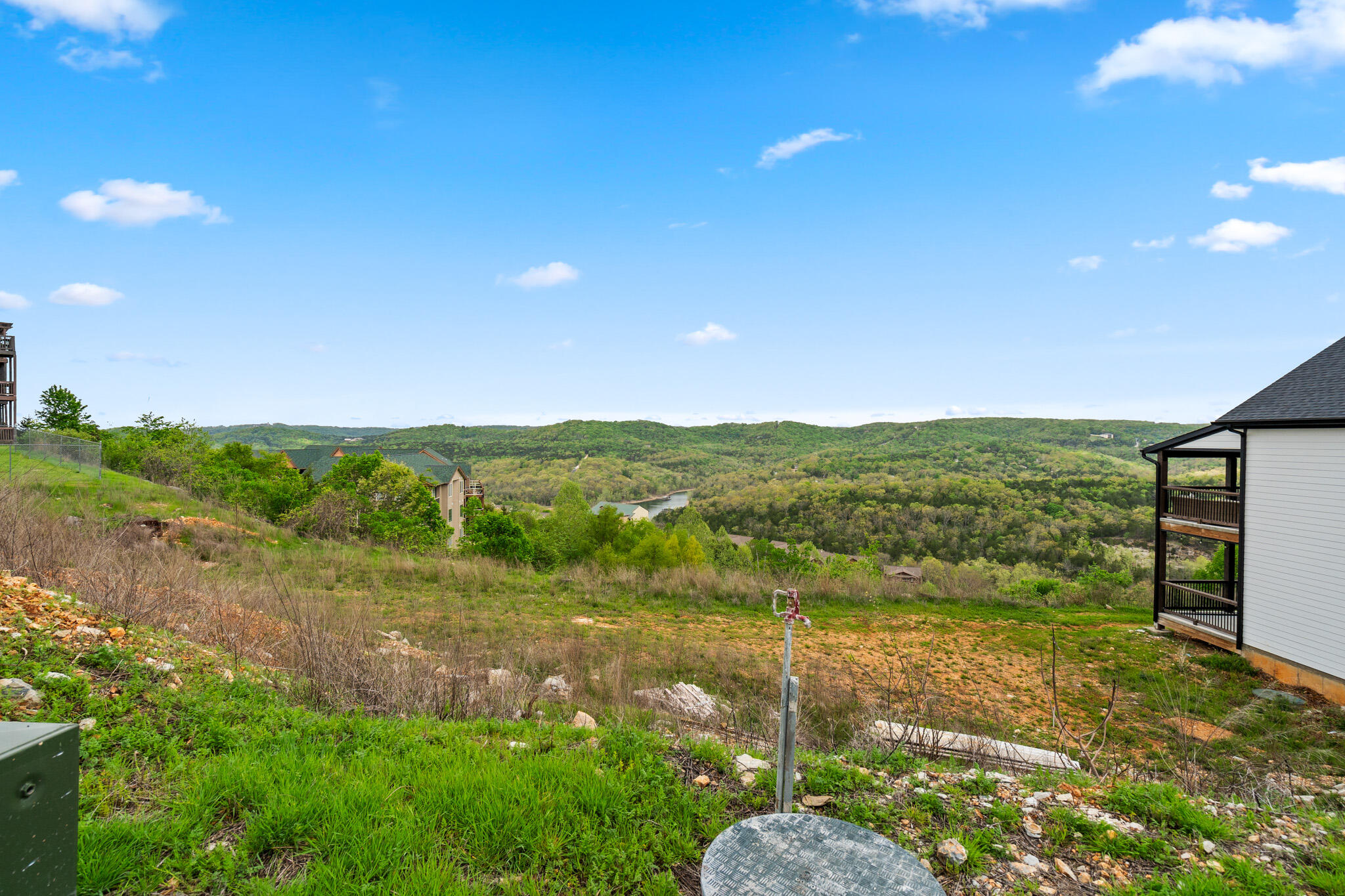
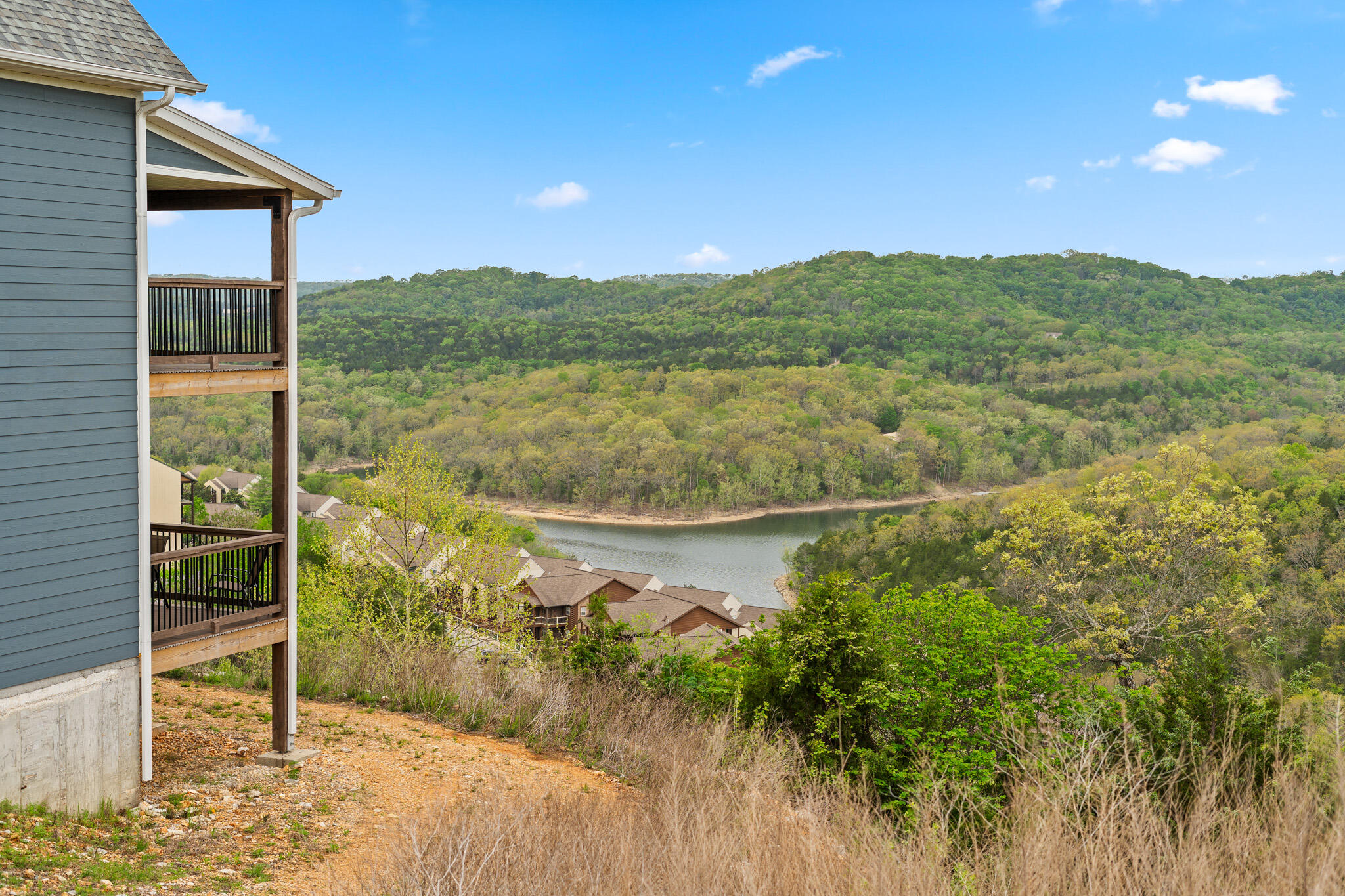
View from a covered deck overlooking the wooded hillside and Table Rock Lake, illustrating the setting of homes within this Indian Point development.
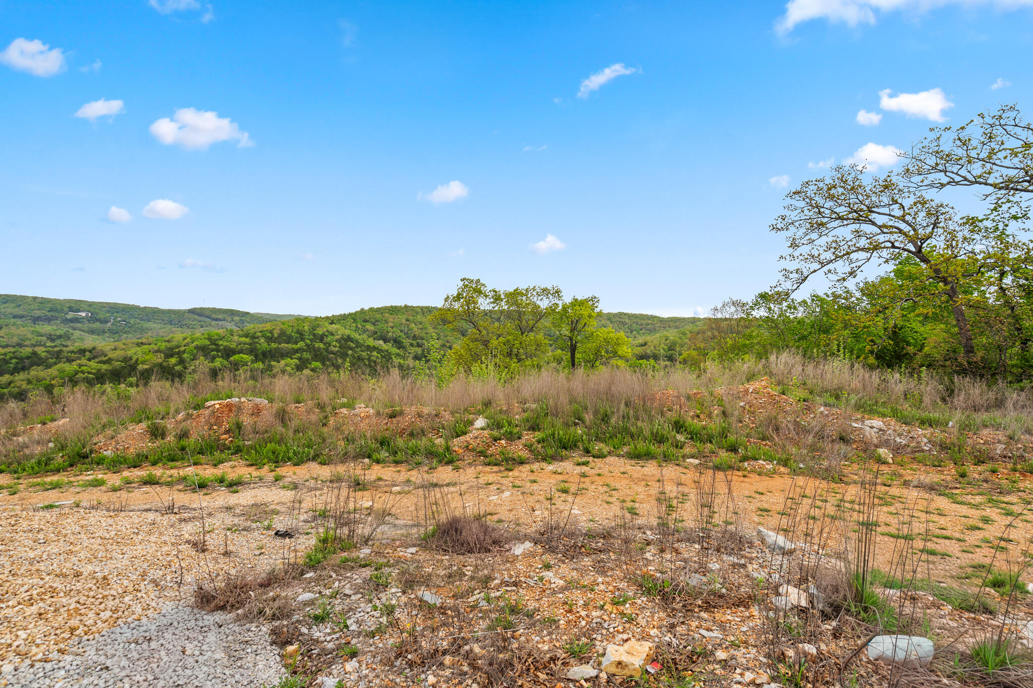
Brushy, undeveloped lot bordered by trees, part of the additional acreage available for future phases of this Branson-area development land.
Wooded view of Table Rock Lake curving below the hillside, seen from within the platted section of this Indian Point development land.
Homesite bordered by an existing residence with a wooded lake view beyond, part of the platted acreage in this Indian Point development.
Wooded, undeveloped acreage with dense tree cover, part of the additional land available for future phases of this Branson-area development.
Open, brushy field bordered by forest, illustrating a portion of the additional acreage within this Indian Point development land.
Wooded homesite with cleared undergrowth, one of the lots within the platted phase of this Table Rock Lake area development near Branson.
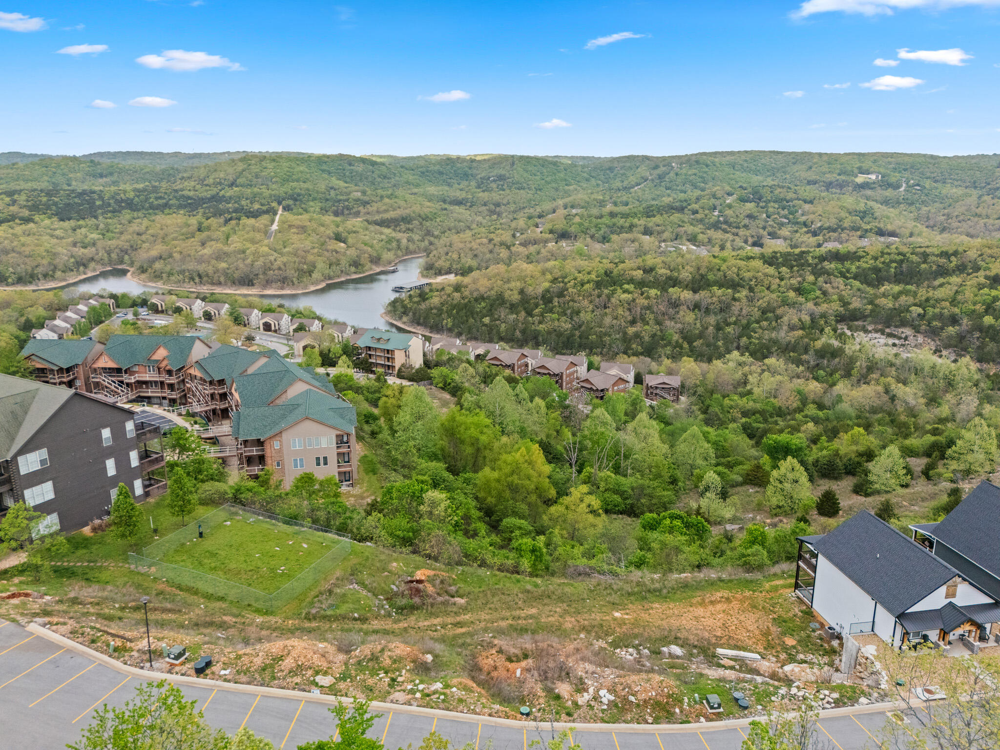
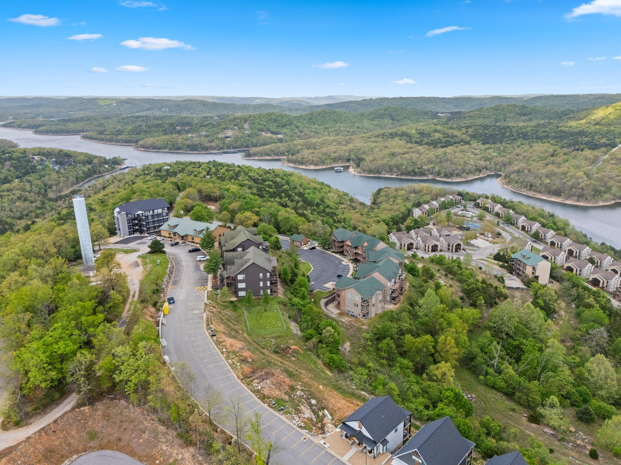
Aerial view of existing condominium buildings along a bend in Table Rock Lake, part of the established community within this Indian Point development.
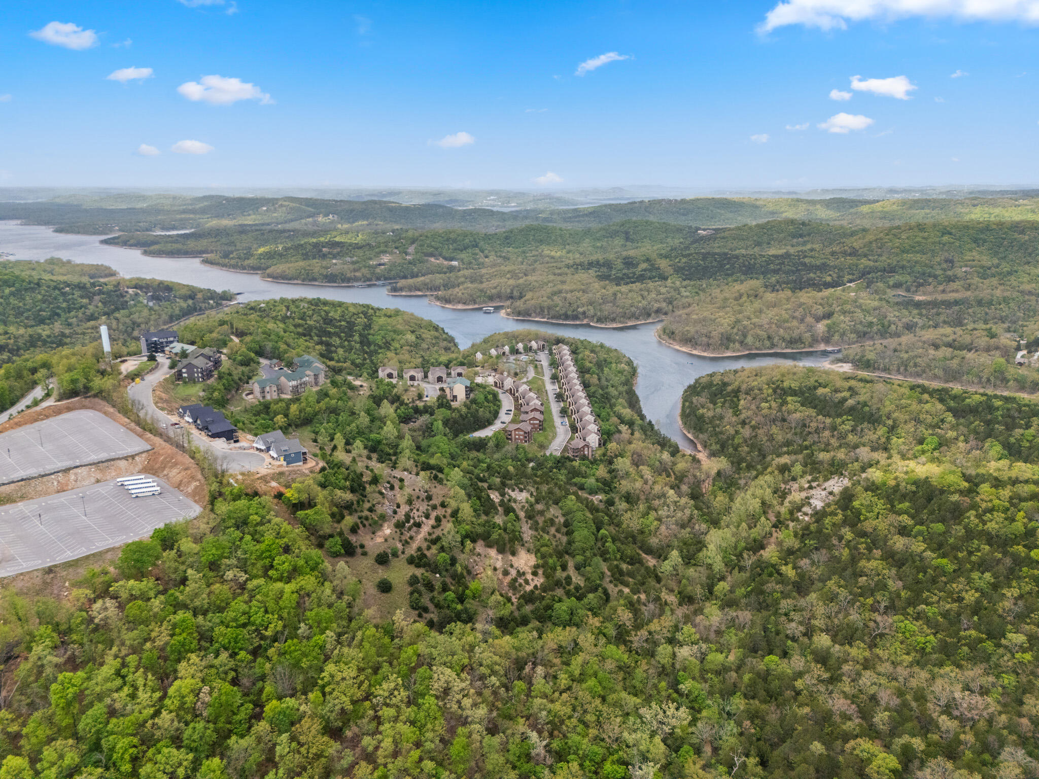
Aerial view of the lakeside community and roadway winding along Table Rock Lake, illustrating the layout of this Indian Point development land.
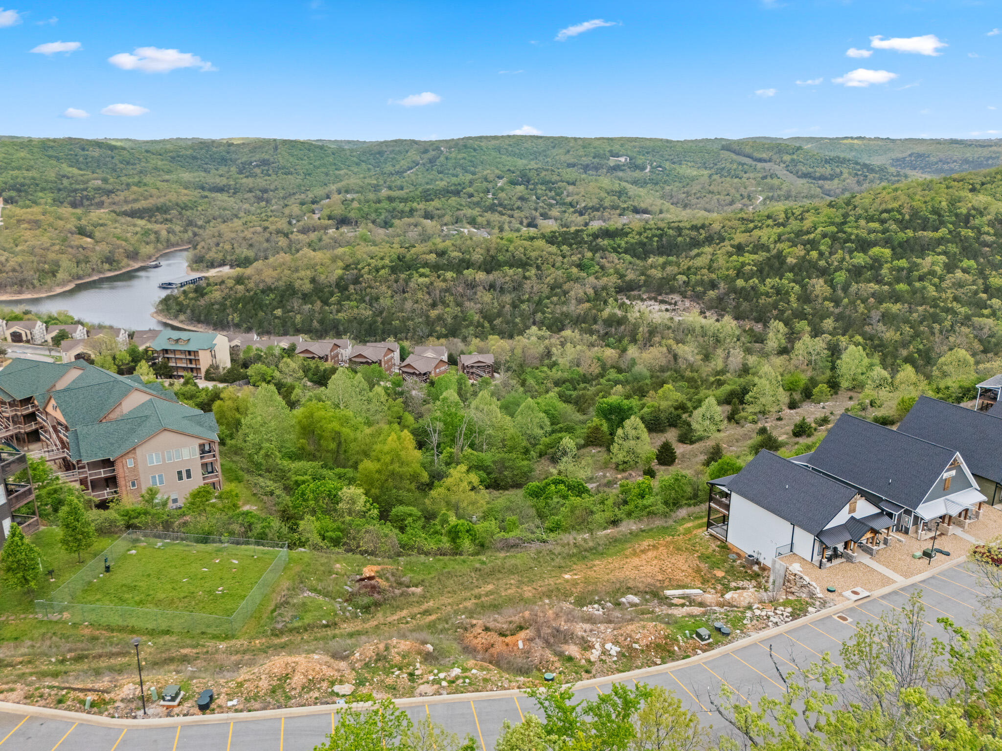
Aerial view of condominium buildings and graded lots bordering Table Rock Lake, part of the phased build-out of this Branson-area development.
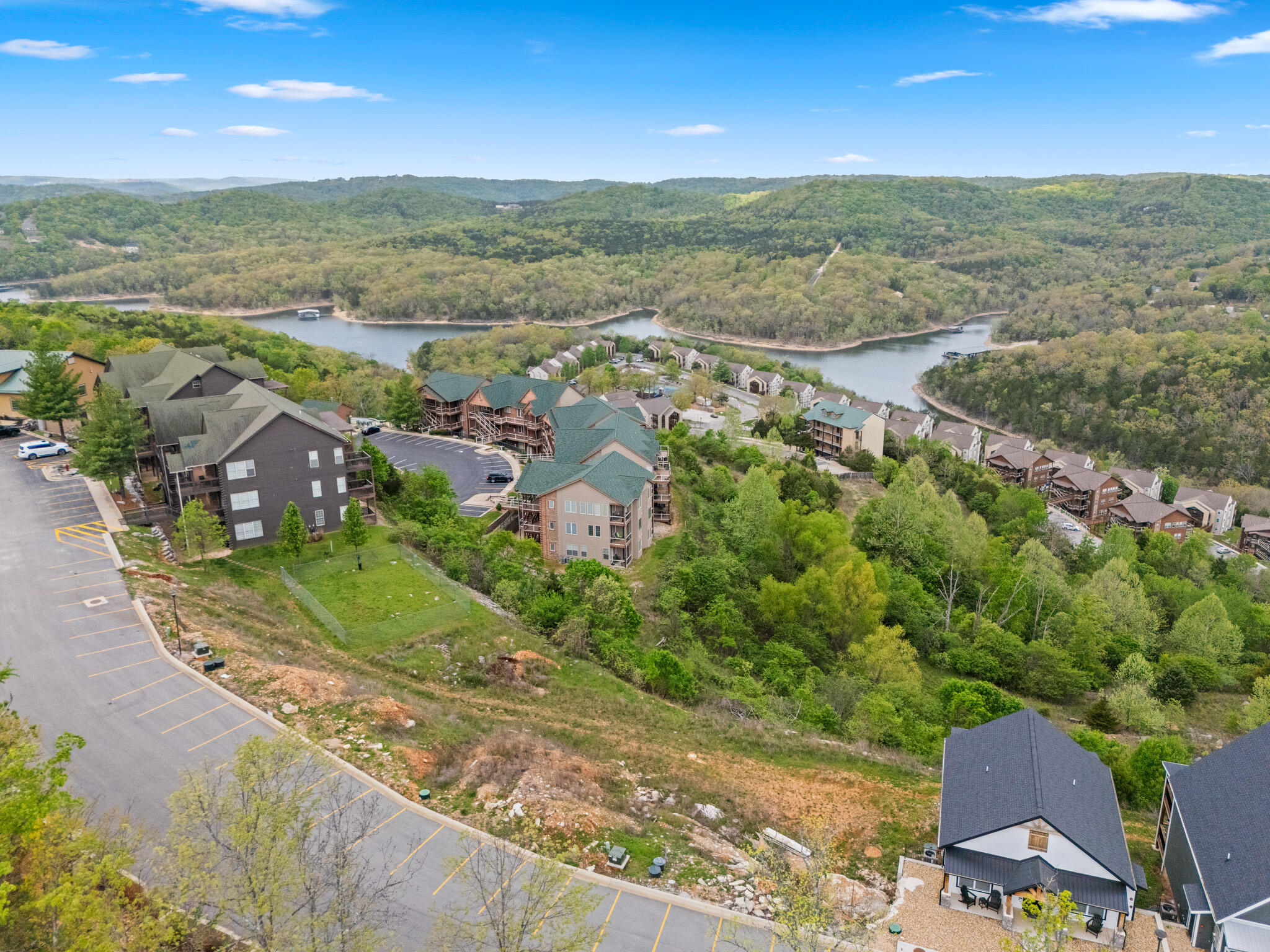
Aerial view of the community's roadway and buildings tracing the shoreline of Table Rock Lake within this Indian Point development.
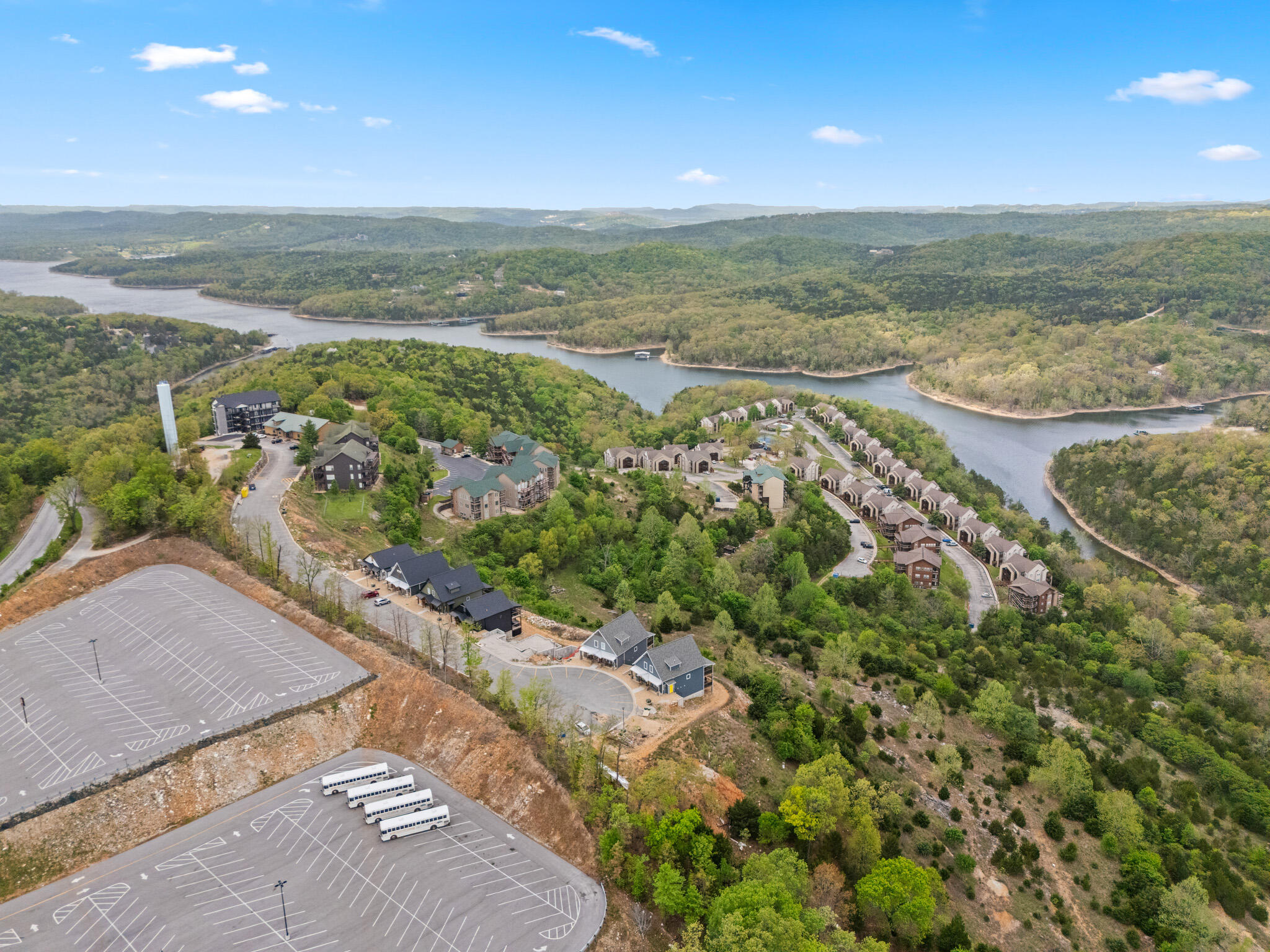
Aerial view of a graded parking area adjacent to the wooded acreage, part of the infrastructure already in place for this Indian Point development land.
Aerial view of homes and roadway curving along Table Rock Lake, showing the established portion of this Indian Point development.
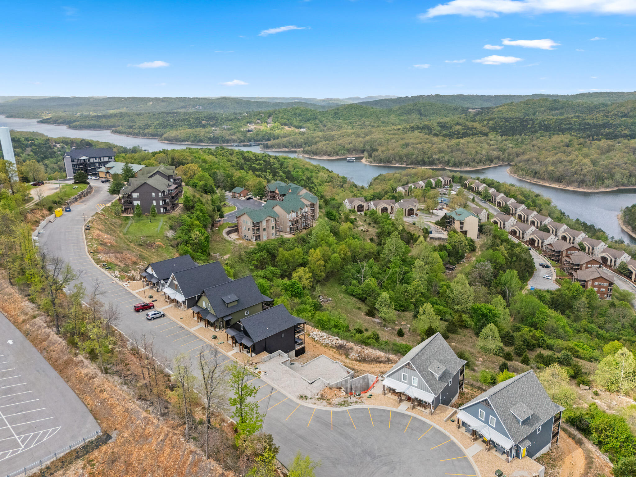
Aerial view of homes under construction near a paved cul-de-sac, part of the active build-out within this Table Rock Lake area development.
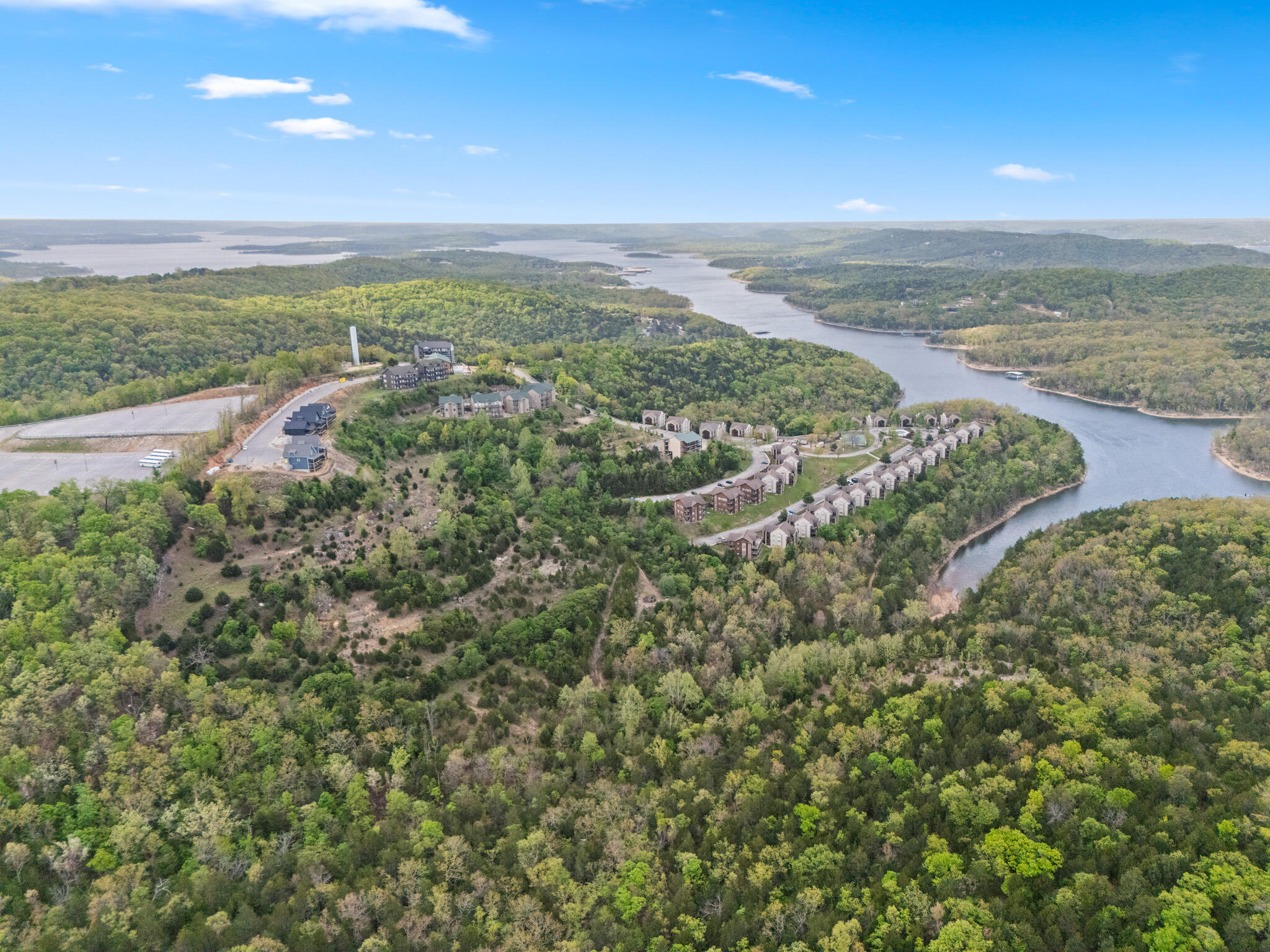
Wide aerial view of the community and marina along Table Rock Lake, showing the scale of this Indian Point development near Branson.
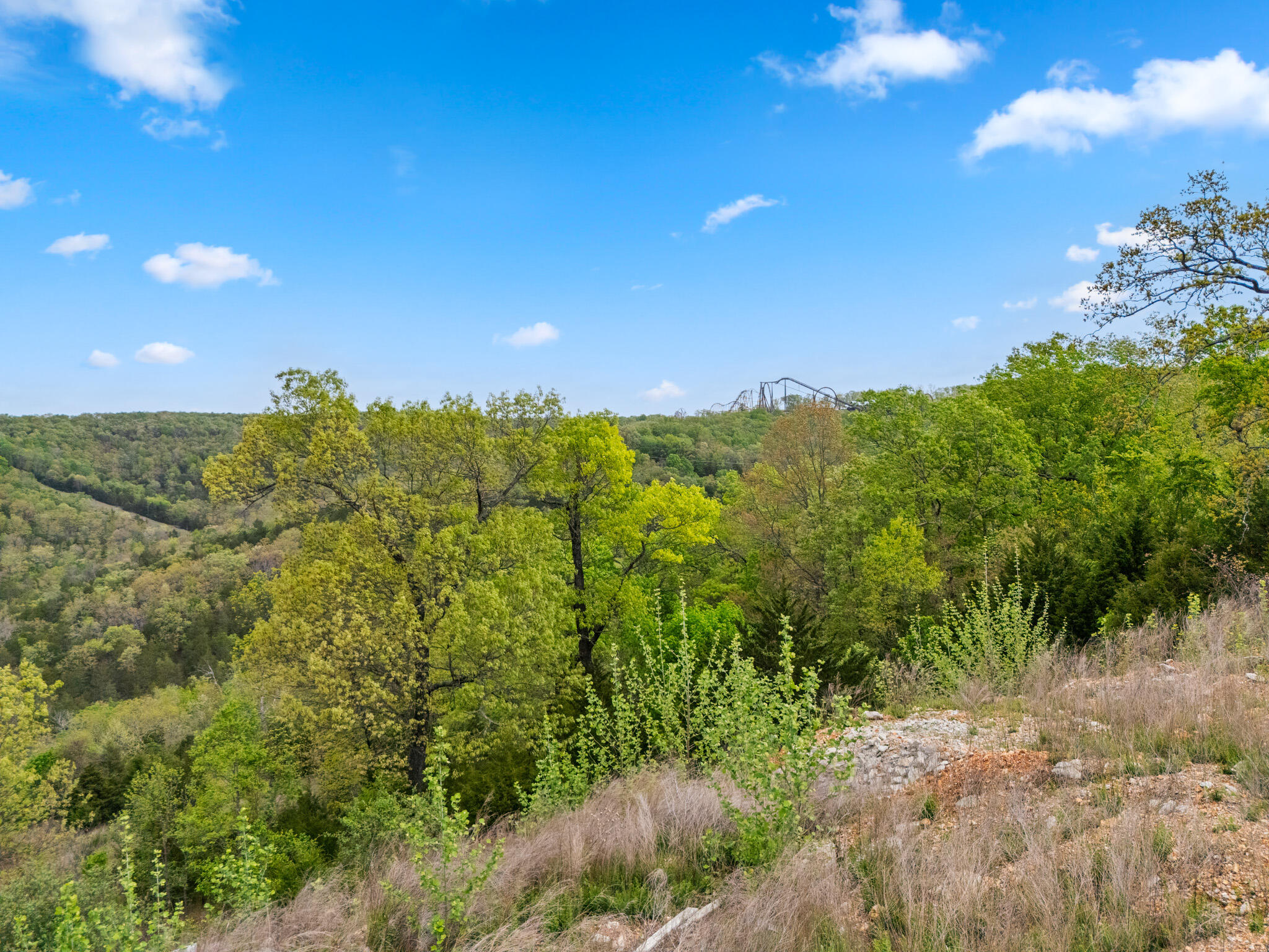
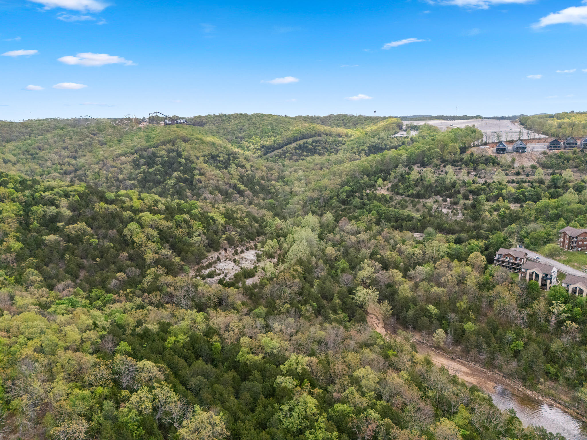
Aerial view of wooded ridgeline acreage with a distant amusement ride visible near the horizon, close to Silver Dollar City within this Branson-area development.
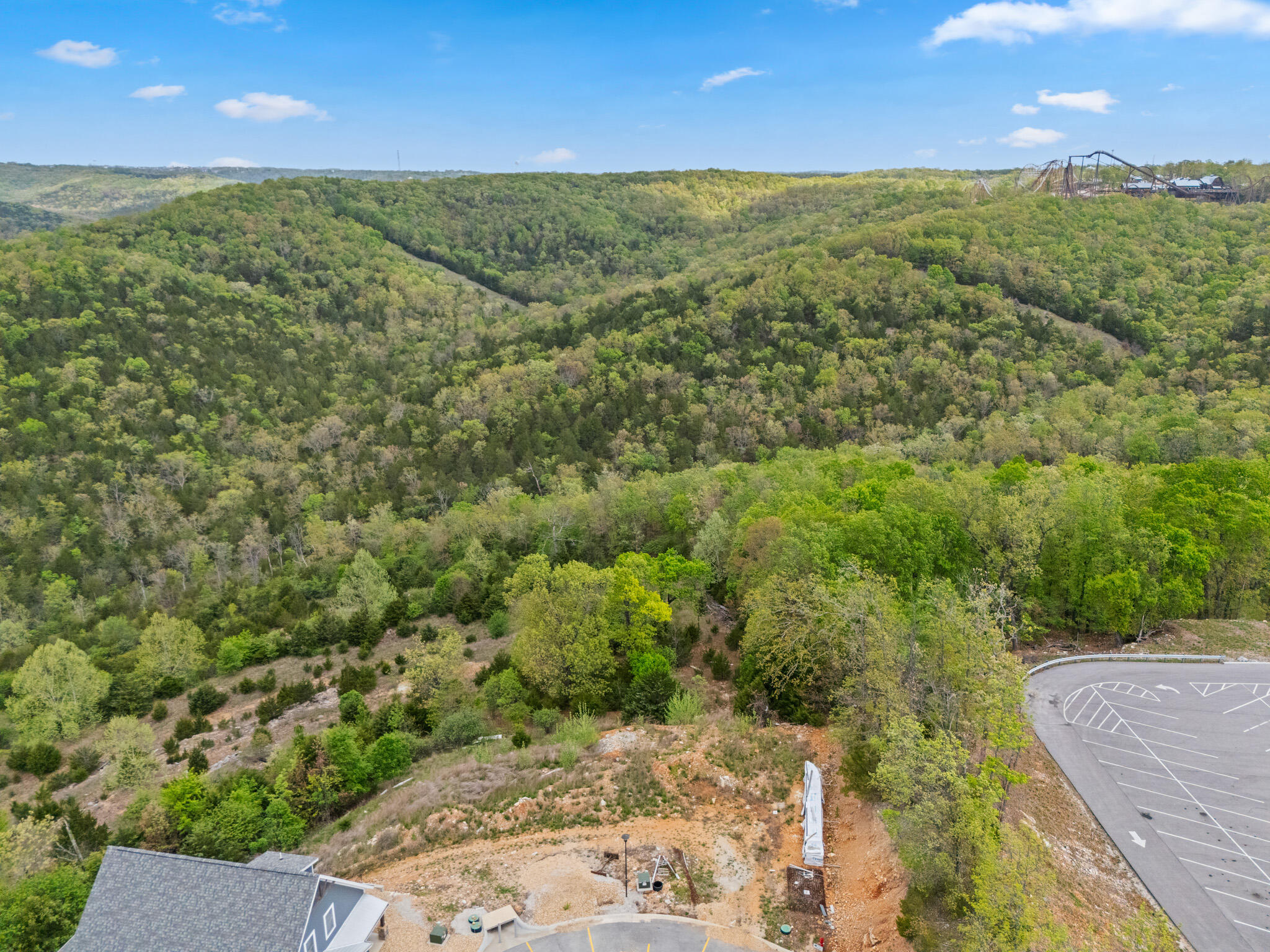
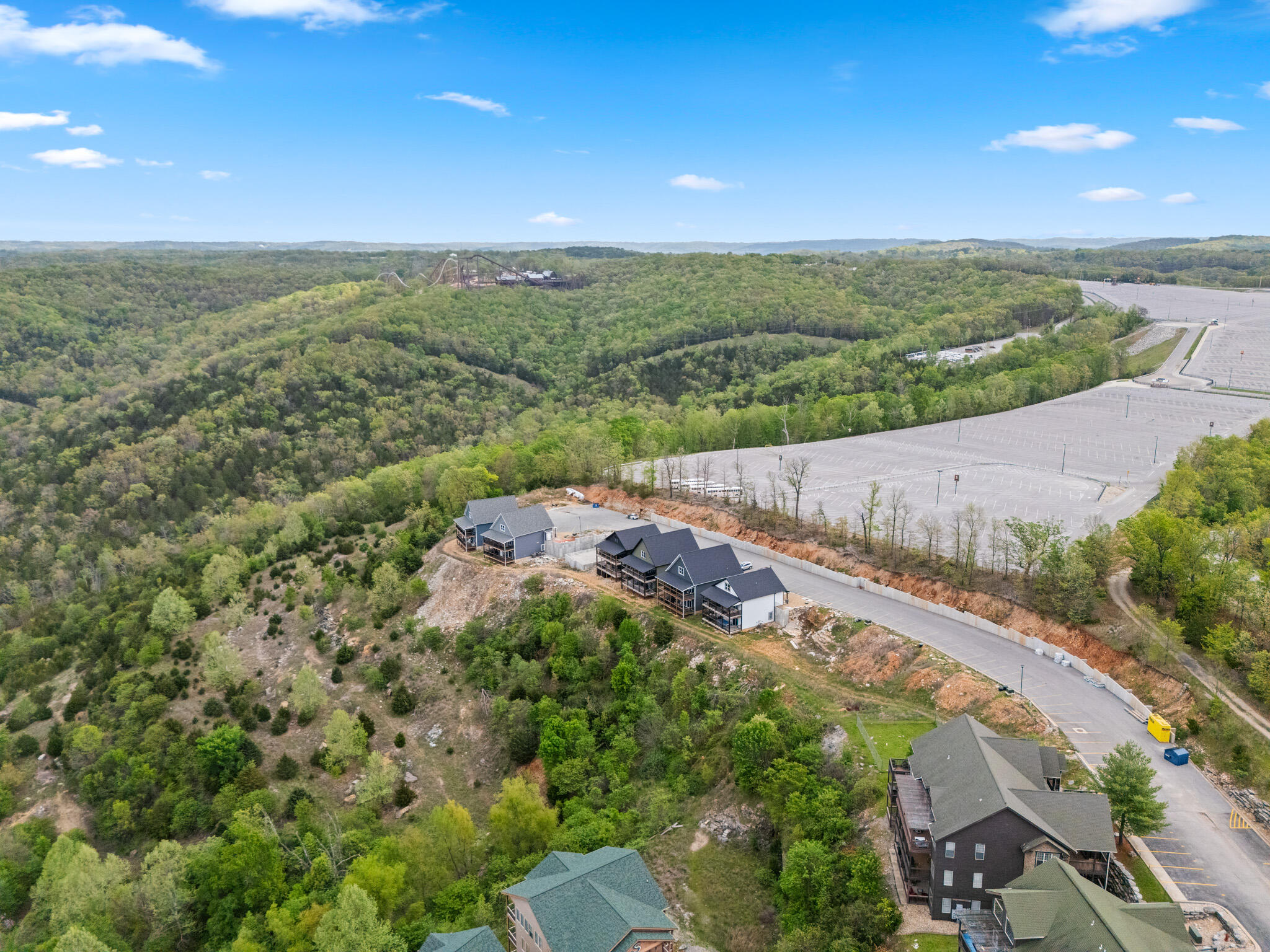
Aerial view of a graded homesite near the ridge, with distant hills and a Silver Dollar City attraction visible beyond this Indian Point development land.
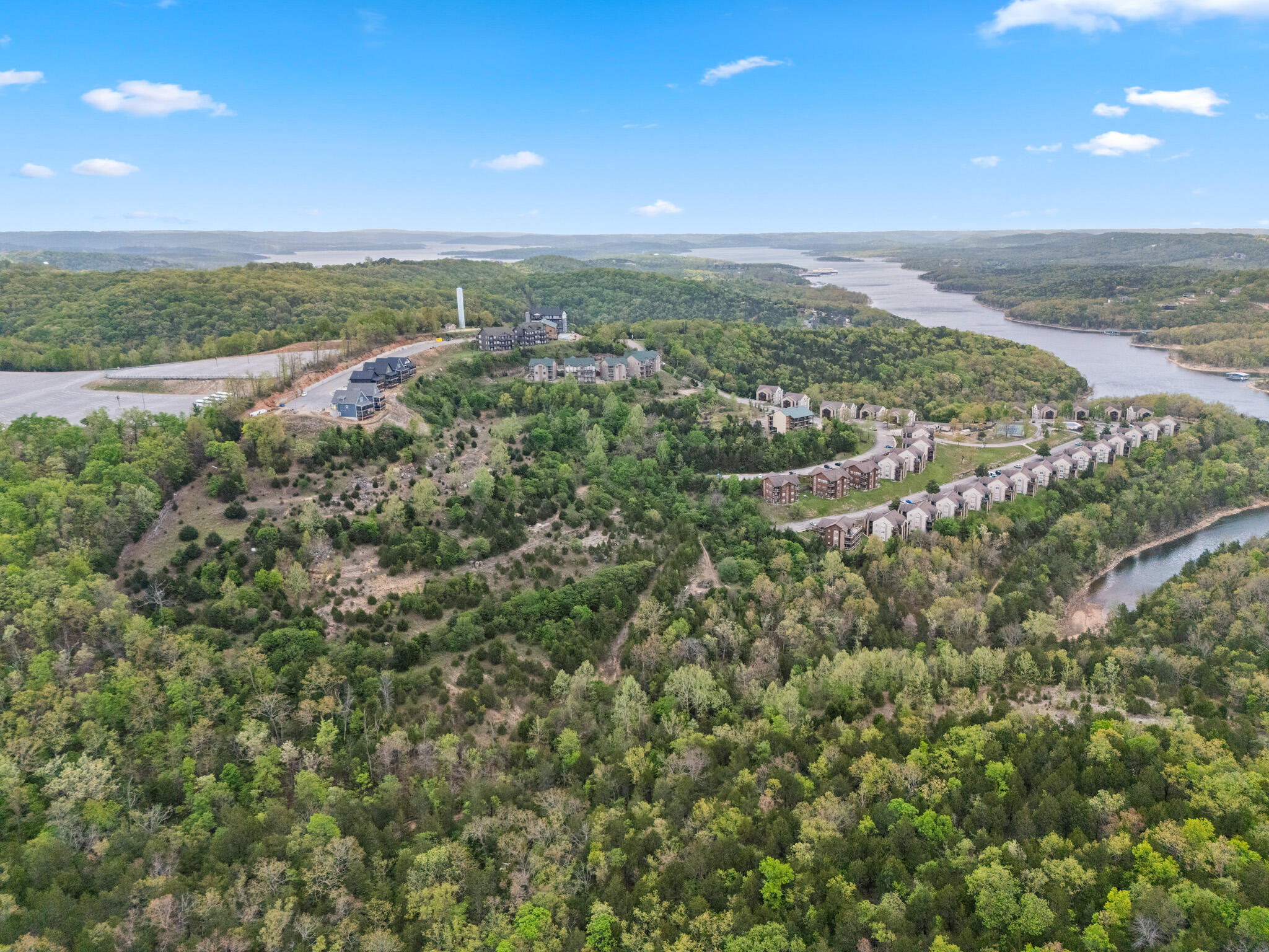
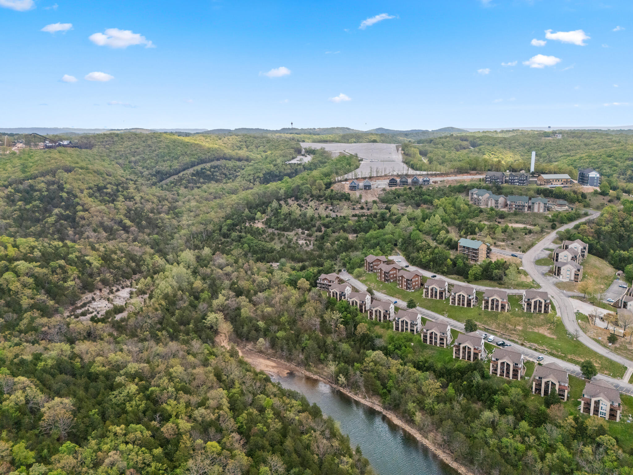
Wide aerial view of Table Rock Lake curving past the developed shoreline and surrounding wooded acreage of this Indian Point development.
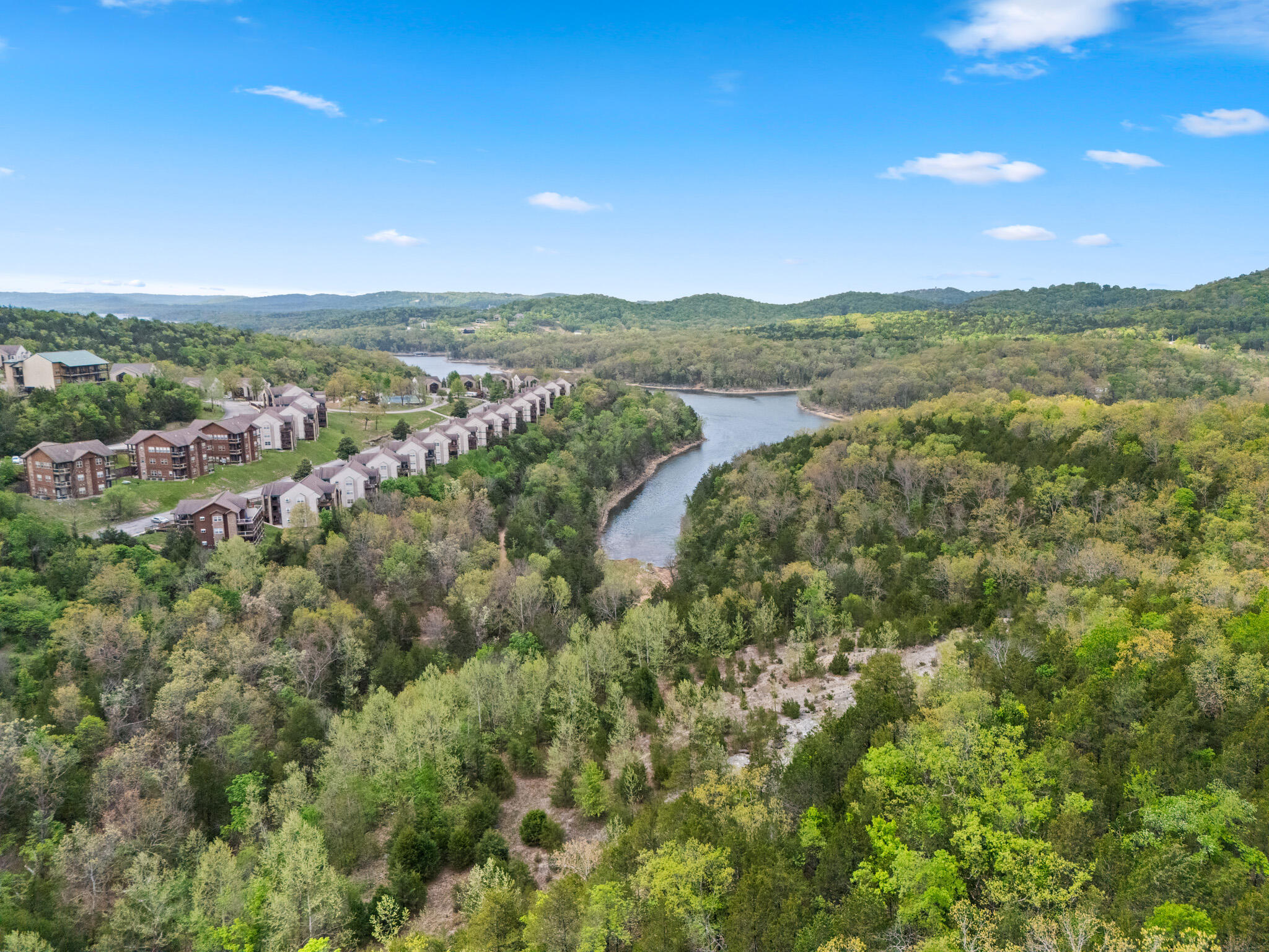
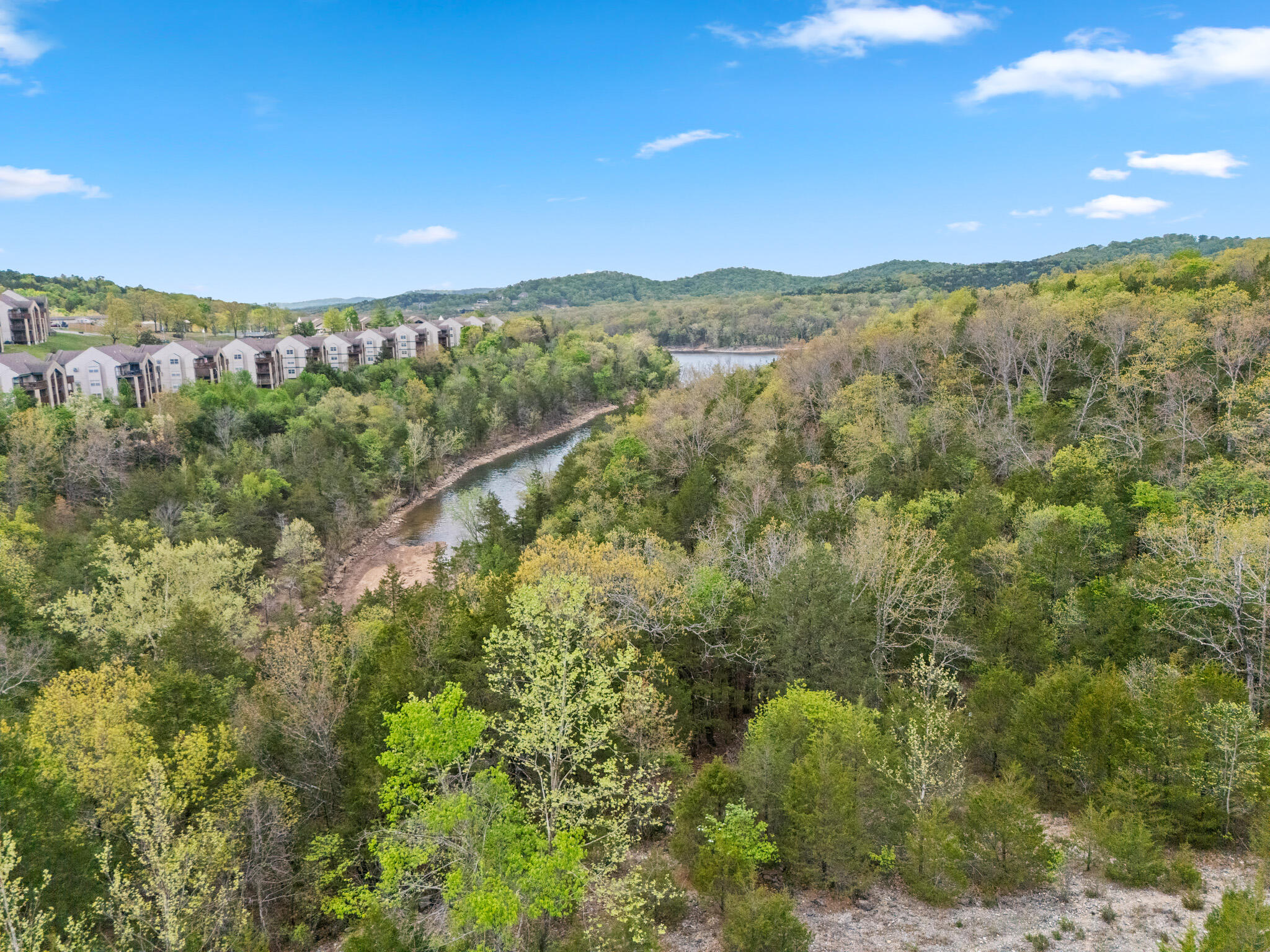
Aerial view of the lake channel bordered by community rooftops and wooded hillside, part of this Branson-area development land near Indian Point.
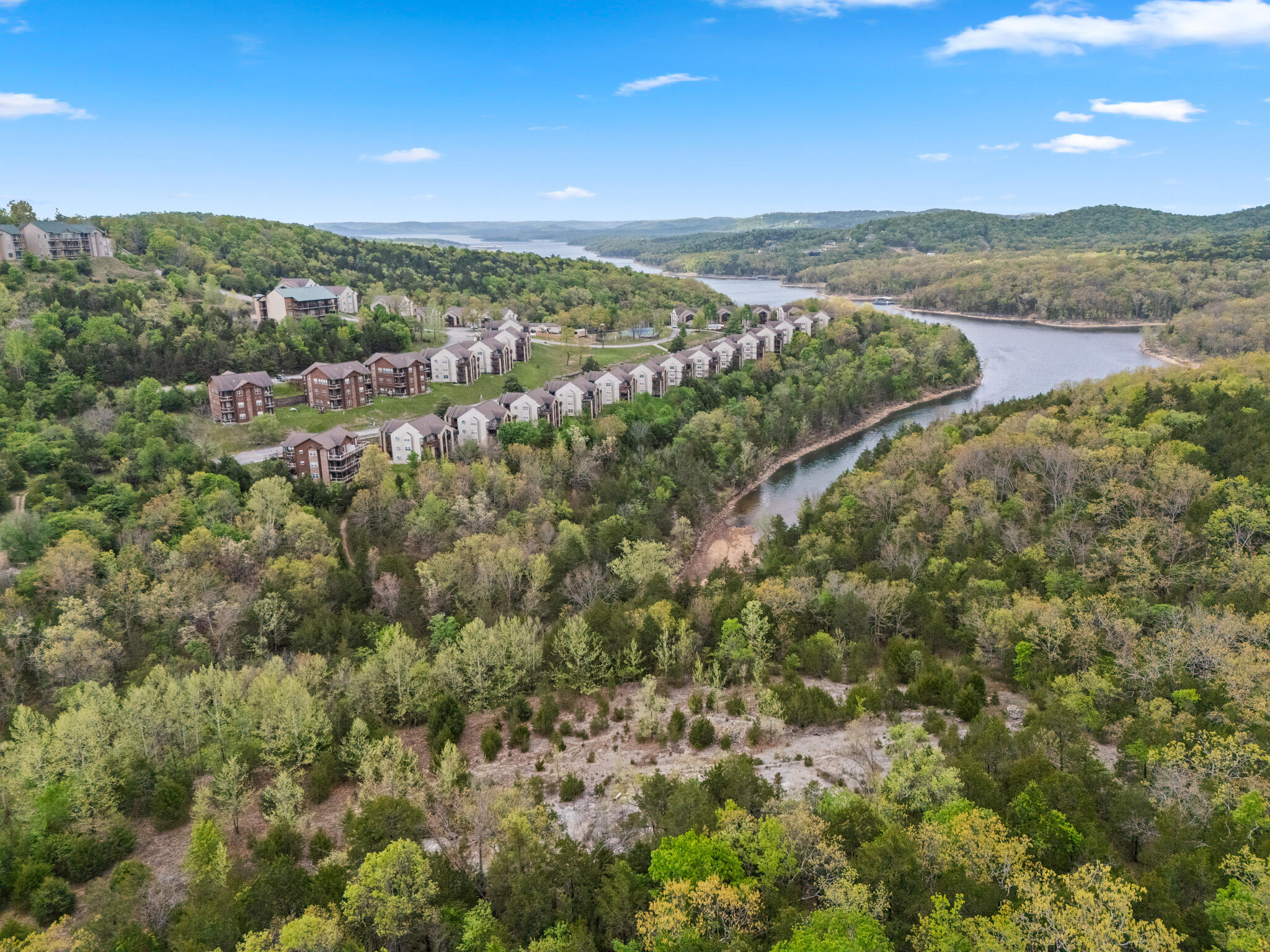
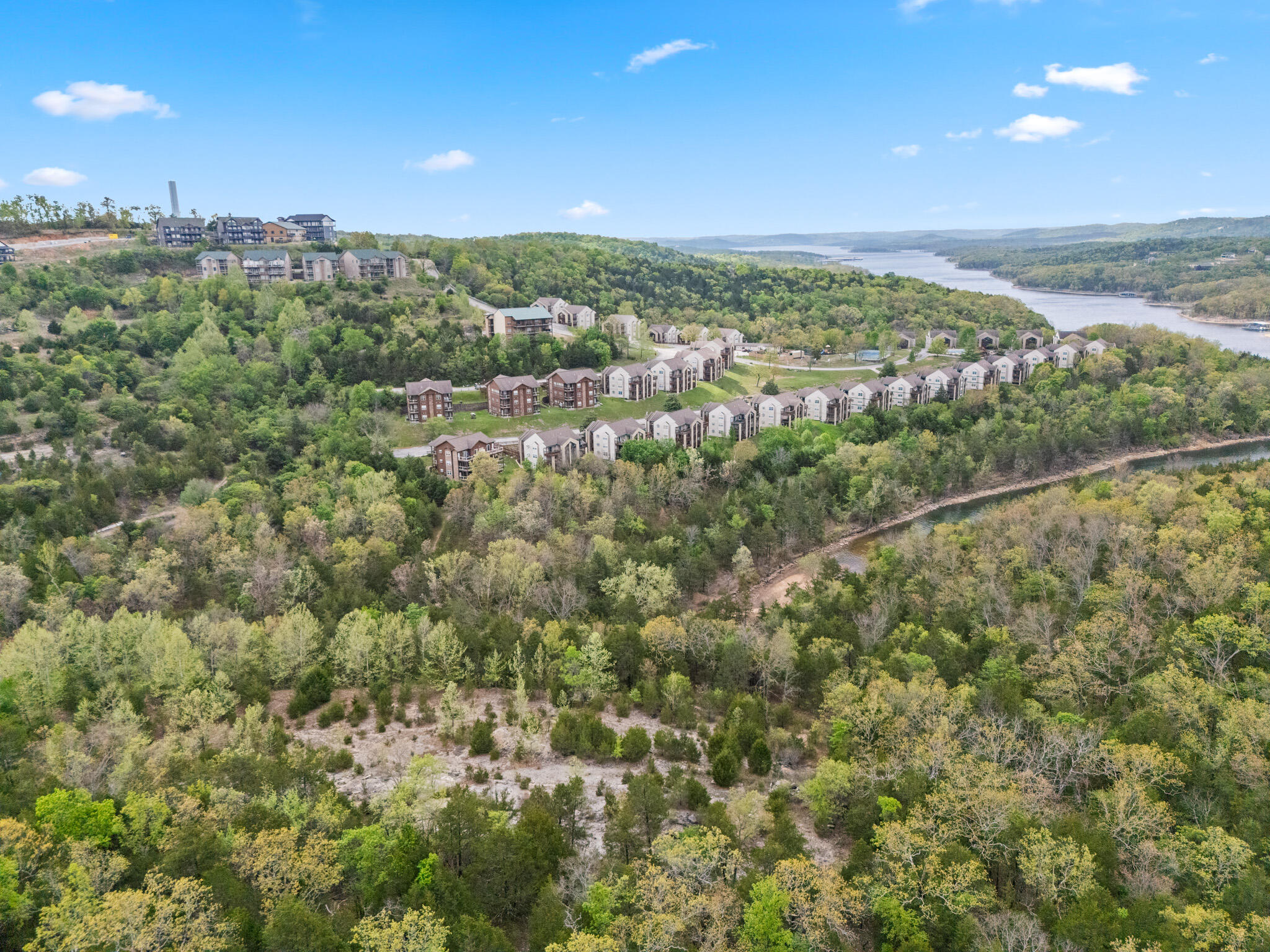
Aerial view of condominium rows tracing the curve of Table Rock Lake within the established section of this Indian Point development.
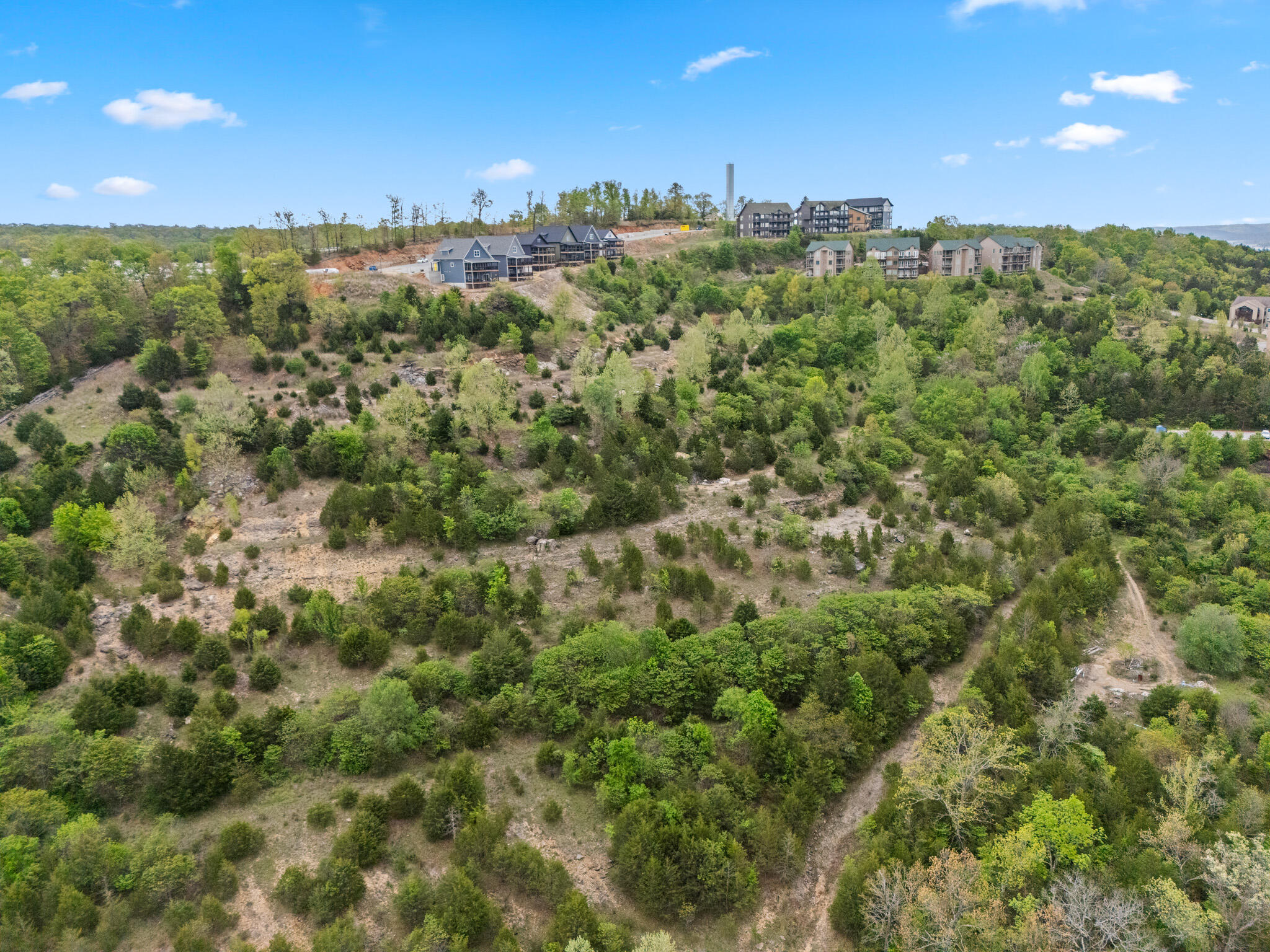
Aerial view of rooftops along the ridge above Table Rock Lake, showing the elevated homesites within this Branson-area development land.
Aerial view of wooded lots overlooking the Table Rock Lake channel, part of the platted acreage in this Indian Point development.
Aerial view of condominium buildings curving along Table Rock Lake, illustrating the established community within this Indian Point development.
Aerial view of the hillside community and lake bend, showing homes clustered along the shoreline of this Branson-area development land.
Aerial view of condominium rows and the surrounding lake channel within the established portion of this Indian Point development.
Aerial view of condominium buildings along Table Rock Lake with a distant amusement ride visible near Silver Dollar City, within this Indian Point development.
Aerial view of a wooded ridge with roadway and parking area, part of the infrastructure supporting this Branson-area development land.
Aerial view of wooded hillside acreage with a distant cluster of condominium buildings, part of this Indian Point development near Table Rock Lake.
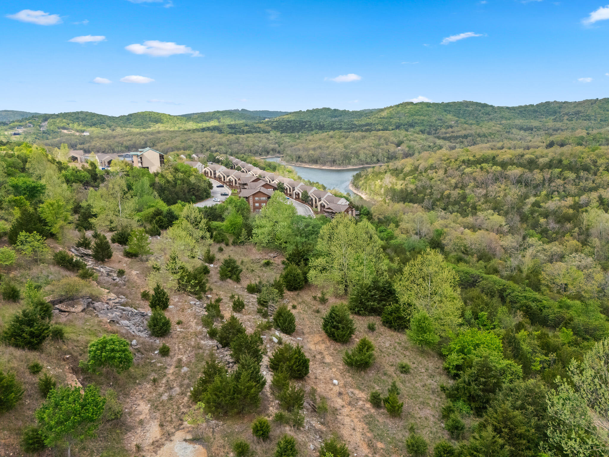
Aerial view of condominium rows curving along the lake with wooded acreage in the foreground, part of this Indian Point development.
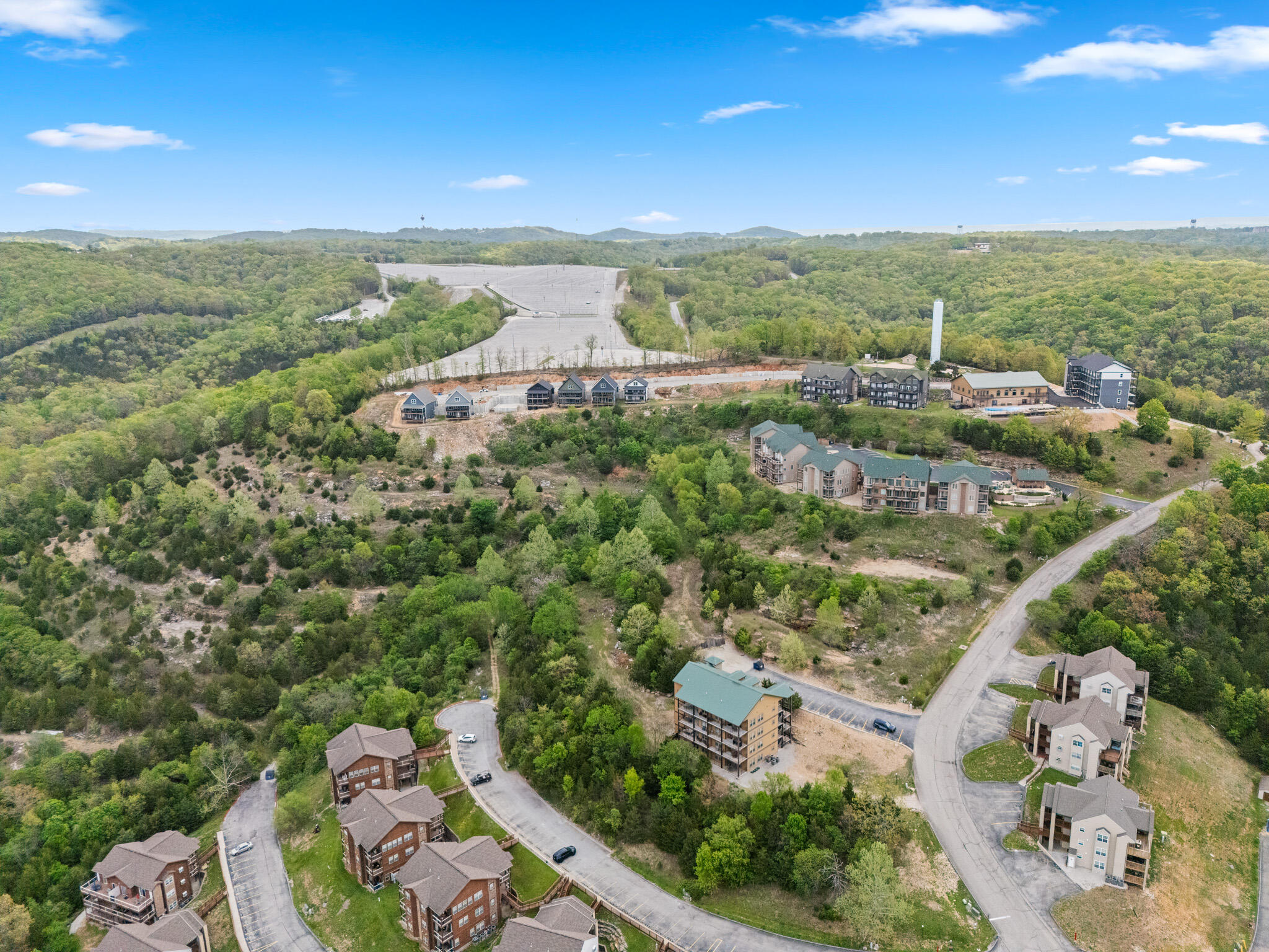
Aerial view of a graded parking area and community buildings set against the wooded ridge of this Branson-area development land.
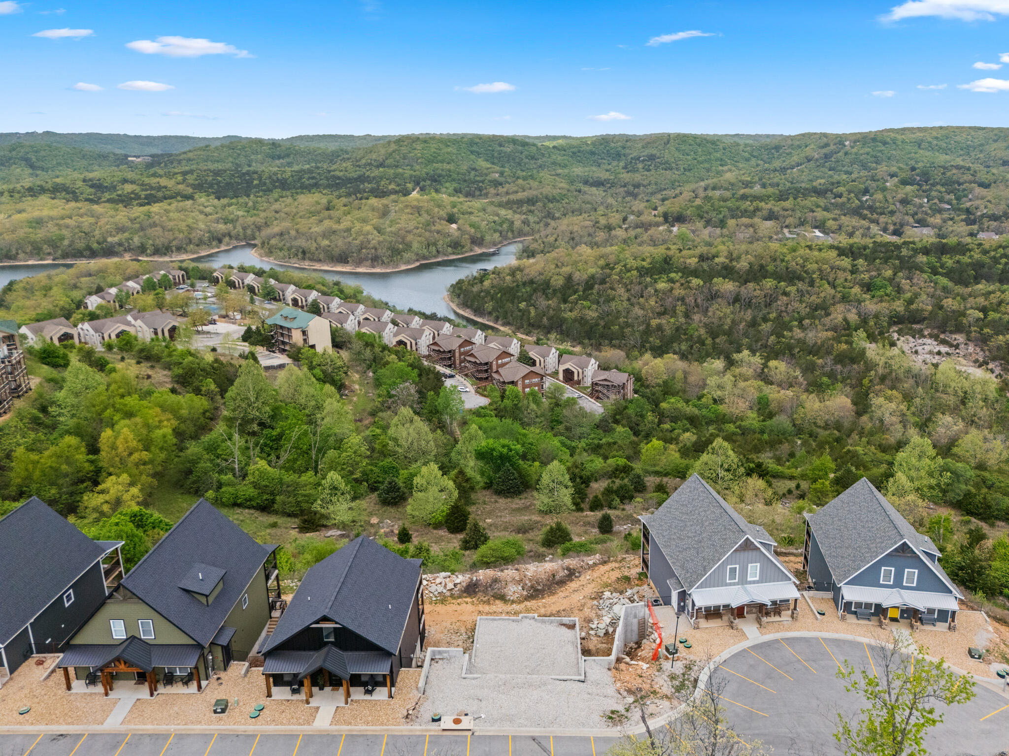
Aerial view of homesites along the ridge above a paved parking area, part of the platted section of this Indian Point development.
Aerial view of a wooded homesite with distant rooftops and a bend of Table Rock Lake beyond, within this Indian Point development land near Branson.